Optical
Specifications
- Best resolution
- 25 cmSpaceEye-T · 15 cm HD product
- Range we carry
- 25 cm to 3 m
- Bands
- Panchromatic4–8 multispectral, SWIR on WorldView-3
- Revisit
- Up to 15 × a dayLegion · daily (PlanetScope)
- Positional accuracy
- < 5 m CE90 without control; better with our orthorectification
- Archive depth
- Back to 1999IKONOS over most of Greece
Resolution
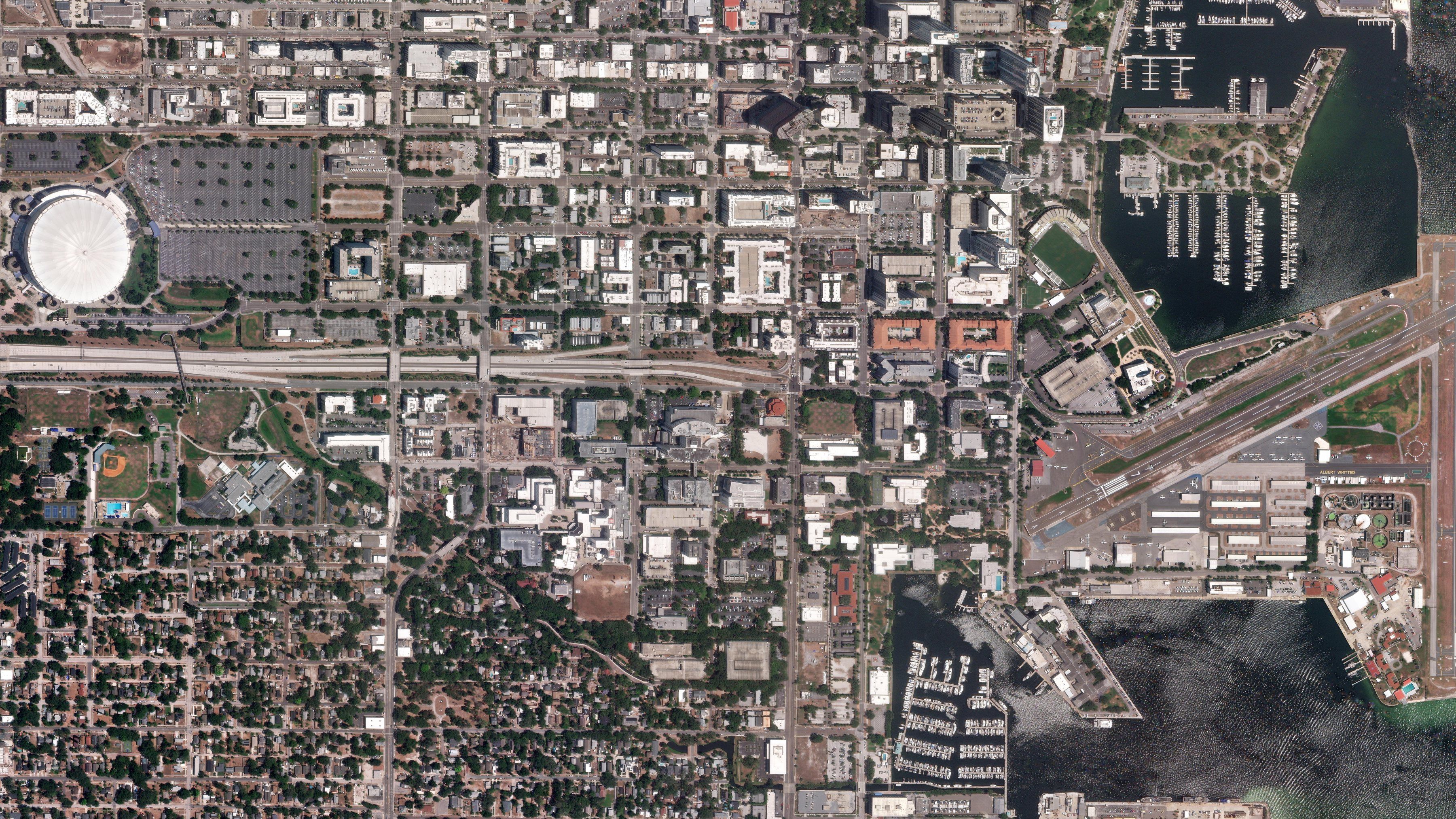
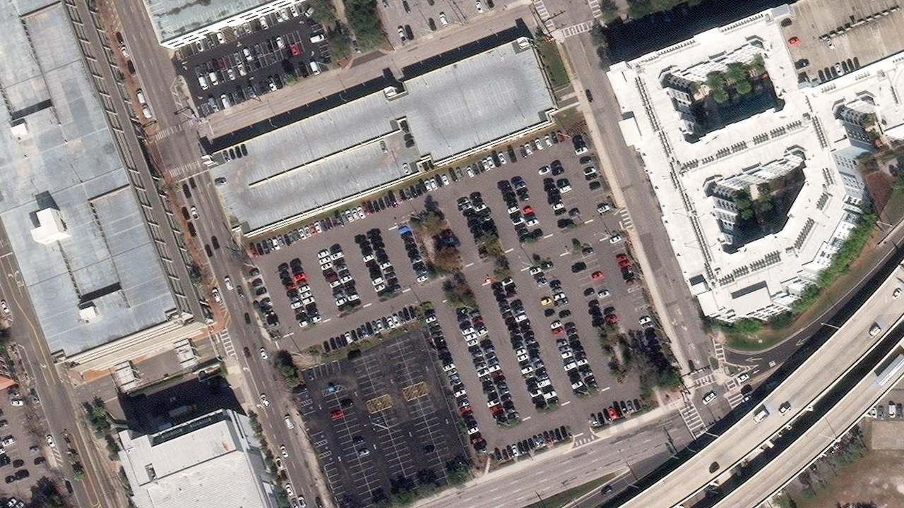
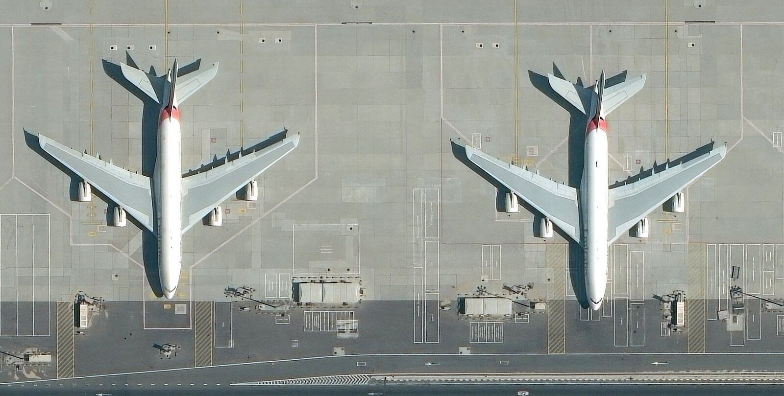
WorldView-3 at 31 cm: from the full frame to a single car park.

- Field of view
- 1.98 km
- Zoom
- 1.0×
- Ground sample distance
- 31 cm
Bands
WorldView-3: one panchromatic band, eight multispectral, eight short-wave infrared.
Reflectance0.20.40.6
- Growing crop
- Drying field
- Bare soil
- Water
- Measured by Wyvern Dragonette, 445–869 nm
Panchromatic1 band · 31 cm
Multispectral8 bands · 1.24 m
CoastalBlueGreenYellowRedRed EdgeNIR1NIR2
Short-wave infrared8 bands · 3.7 m
4006008001000140018002200nmVisibleNear infraredShort-wave infrared
Pan-sharpening
Colour is recorded at four times the pixel of the panchromatic band, then fused with it.

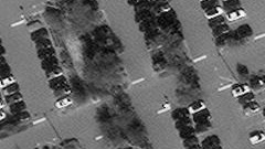
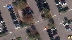
Derived from the delivered 31 cm product.
Gallery
Select a frame to open it at full resolution.
Detects
- Buildings, roads, vehicles, vessels: anything with a visible outline
- Vegetation health through the near-infrared band
- Change between two dates, at the level of a single plot
- True colour for maps, plans and public-facing products
Limits
- Nothing through cloud, smoke or haze
- No night collection
- Winter tasking over Greece needs a wider window
Satellites
Sorted by resolution. Operators’ published figures.
SatelliteOperatorResolutionLaunchedStatus