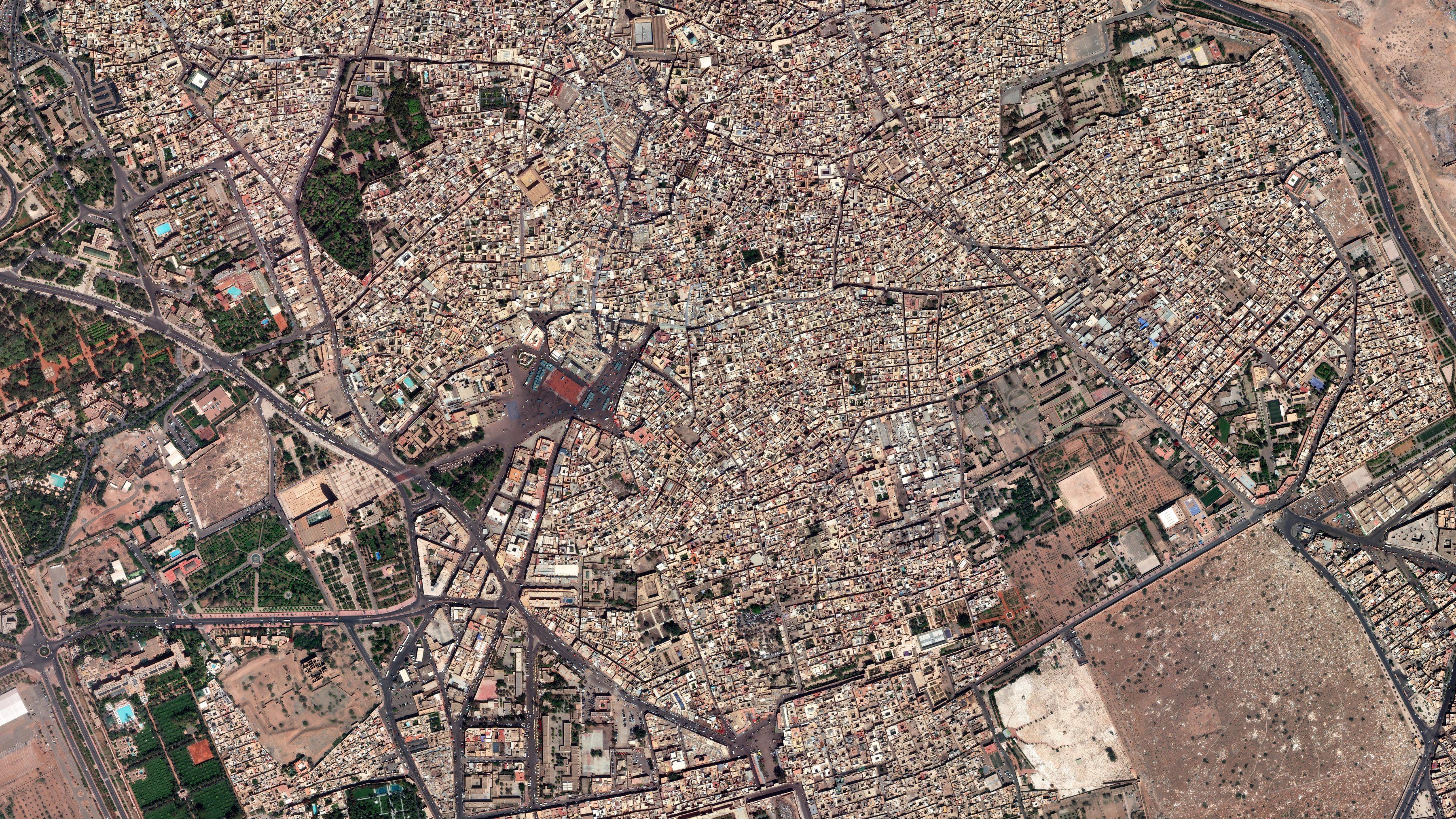
Earth Observation
- km² orthorectified at 50 cm under national contracts
- 141,567
- Country-wide coverages: Greece, Cyprus, Malta
- 3
- Imagery partners
- 18
- Pixels RMSE, typical, with control
- 1–2
Archive
Most requests are met from imagery that already exists. Every scene over the area, filtered by cloud and viewing angle; you see the best one before you buy it.
Archive or tasking
Tasking
A satellite pointed at your area in a window you set. Passes come several times a day; the weather and where your order sits in the queue decide the day it collects.
Priority
- Available pass
- Taken by a higher-priority order
- Attempt, clouded out
- Collected
- Window
- Attempts
- Collected
Illustrative model: fixed weather and passes; each lower priority loses passes to the orders above it.
Ordering, in five steps
- Area
A polygon, a shapefile, or a place name and a radius.
- Sensor
Family and resolution, or what you need to see and we choose.
- Window
Dates, maximum cloud, maximum off-nadir angle.
- Priority and licence
Standard, priority or urgent; single user, organisation or government.
- Confirm
We place it with the operator, track every attempt and deliver.
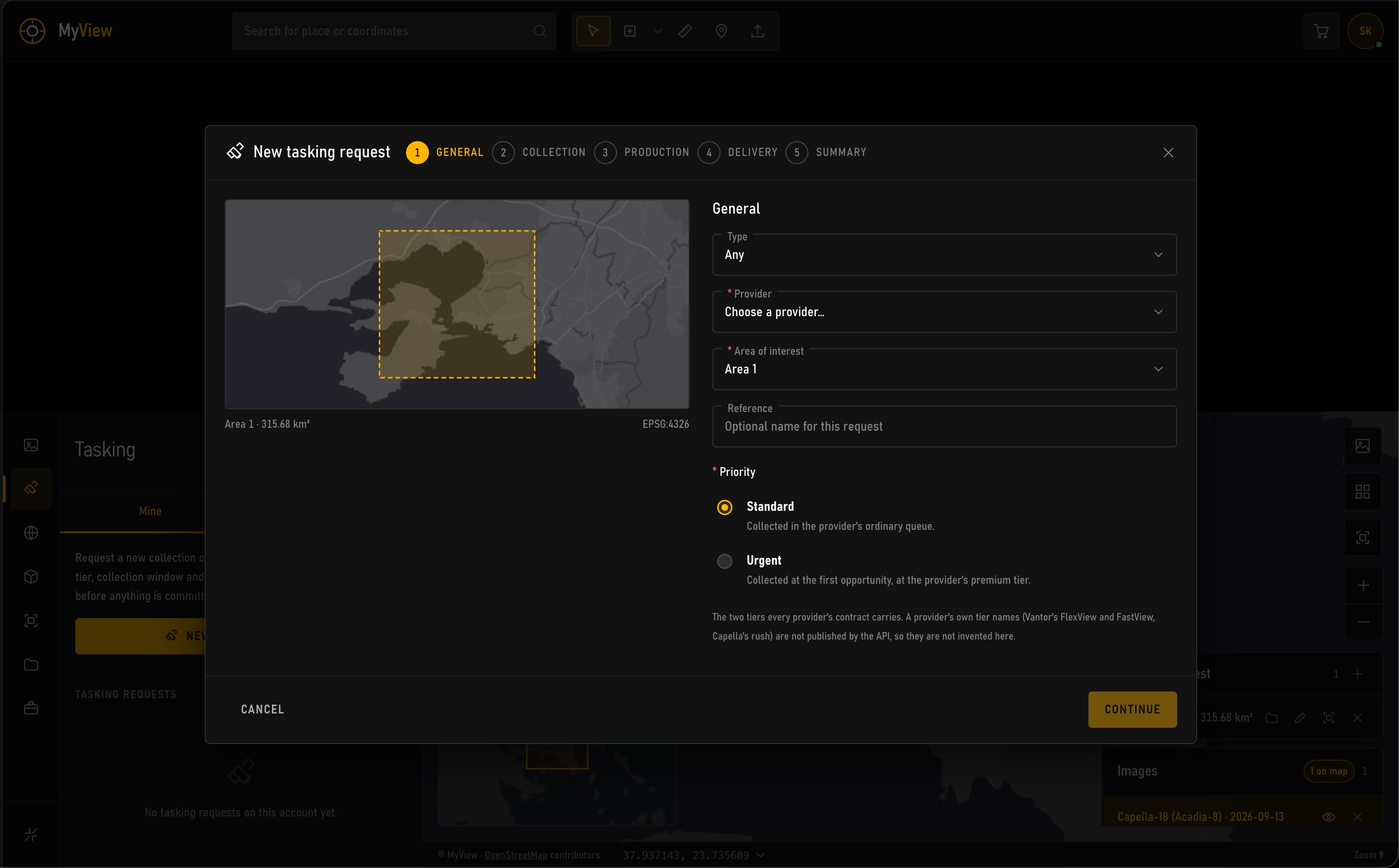
Priority
- Standard1–10 daysCollected when the schedule allows
- Priority1–5 daysAhead of standard orders over the same area
- UrgentNext feasible passEmergencies, confirmed by phone
Licence
- Single userOne organisation, internal use
- Multi-userNamed affiliates and partners
- GovernmentA ministry or agency and its contractors
Imagery is licensed, not sold. Derived products, the map made from the image, are generally yours.
What we need
- The area, in any format
- What you need to see, in a sentence
- The dates that matter, and how much
- Who will use the imagery
- Deliverable: raw, orthorectified or mosaic; projection and format
Processing
From the counts a sensor records to calibrated, corrected, sharpened colour.
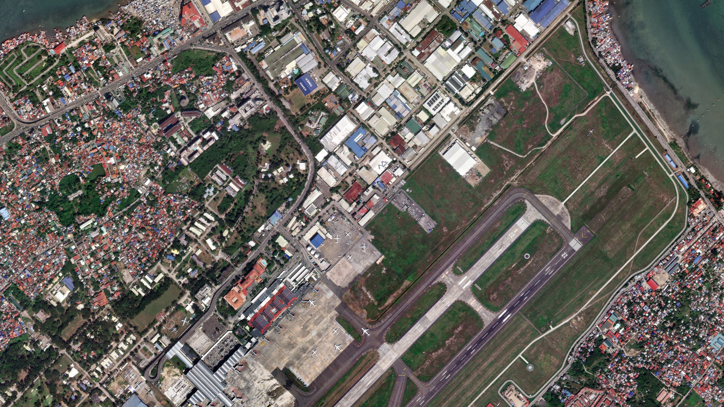
- Raw countsDigital numbers as the sensor wrote them: flat, hazy, colour at 1.24 m.
- CalibratedPer-band gains and offsets to top-of-atmosphere reflectance.
- Atmosphere removedHaze and path radiance taken out: surface reflectance.
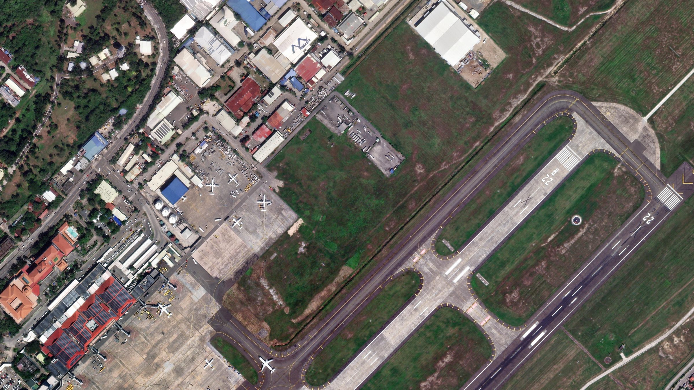
- Pan-sharpenedColour fused with the 31 cm panchromatic band.
Earlier stages illustrated from the delivered product.
Orthorectification
Terrain and viewing angle move every pixel off its true position. Against the national DEM and ground control, each one goes back where the map says it is, with the accuracy reported.
- Displacement
- At 50 cm
Control point RMSE
- Feature in the image
- Position on the map
The as-collected distortion is drawn for illustration; real distortion also varies with terrain across the frame.
Mosaicking
Orthorectified images joined into one layer. Seamlines follow roads, walls and edges, and colour is balanced across every join until none shows.
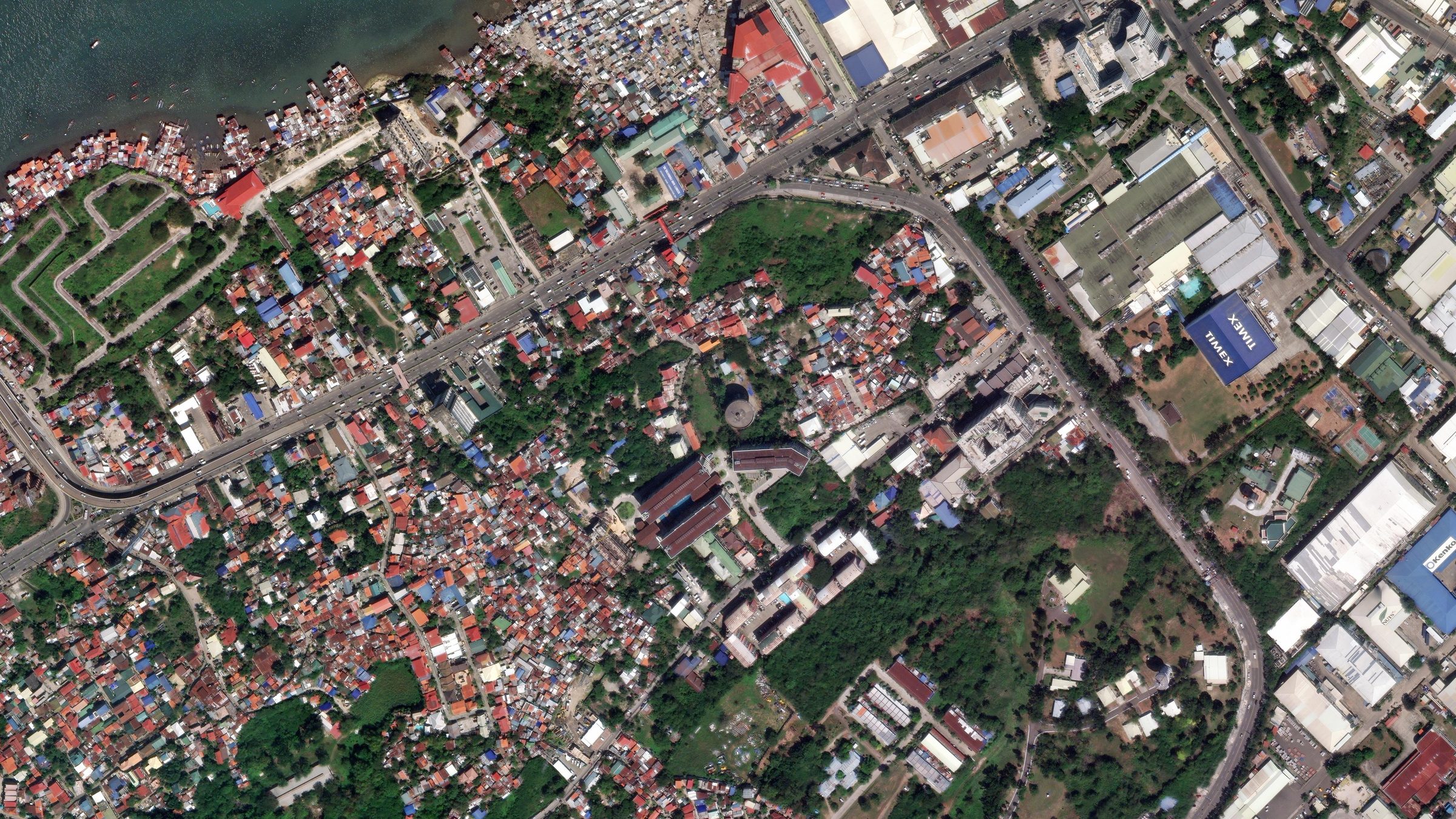
Illustrated from one delivered image: six regions with the radiometry of six collection days.
Analysis
From pixels to a map of what is there, and how much of it.
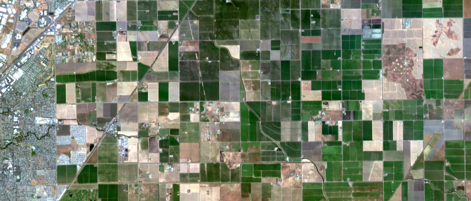
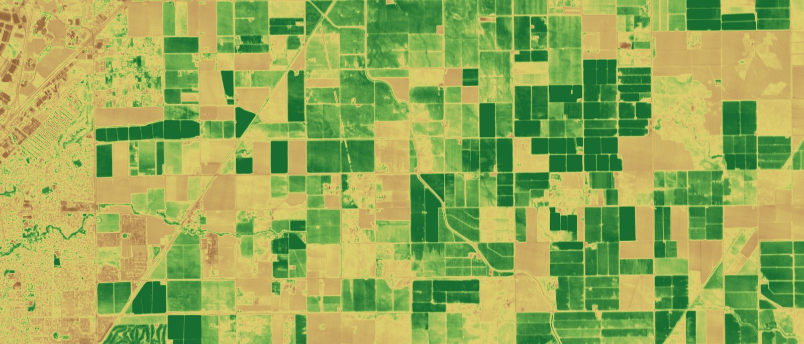
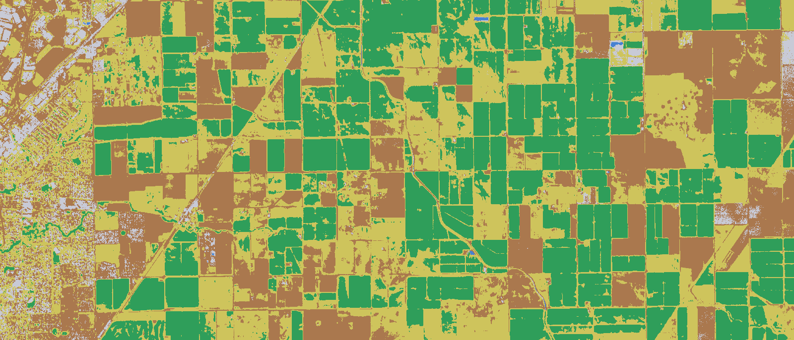
Threshold classification on a single 5.2 m scene; production maps add training data, several dates and field validation.
Deliverable
- Formats
- GeoTIFF · COGJPEG2000, ECW; vector as GeoPackage or Shapefile
- Projections
- ΕΓΣΑ87WGS84, UTM, or the one you specify
- Accuracy
- ≤ 1–2 pxRMSE with control, reported per block
- Radiometry
- 4 or 8 bandsPan-sharpened true colour, balanced across the mosaic
- Quality report
- Per deliverySources, dates, cloud, accuracy, cut-lines
- Tools
- CATALYSTProfessional, own pipelines, MyView
Programmes
- 316 km²orthorectified at 50 cmCountry-wide 50 cm orthorectified coverage
- 4sensor types on callNational satellite tasking capability
- 6 × / yrmonitoring cyclesBi-monthly burnt-area monitoring, East Attica
- 132,000 km²orthorectified at 50 cmCountry-wide 50 cm orthorectified coverage
- 9,251 km²orthorectified at 50 cmCountry-wide 50 cm orthorectified coverage
Send the area and the specification
Or the tender document. Archive search is free and takes a day; feasibility, sources, accuracy and price follow.