Products
Our products
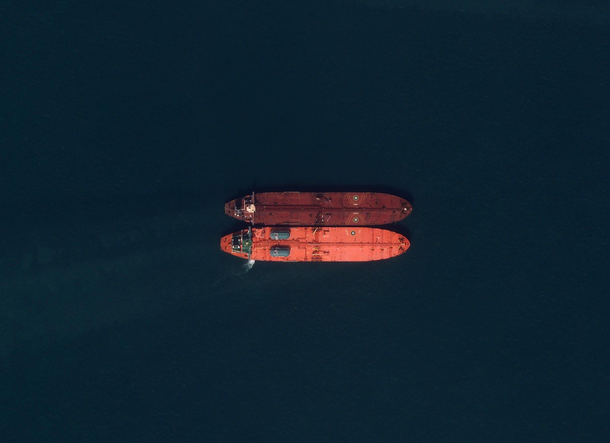
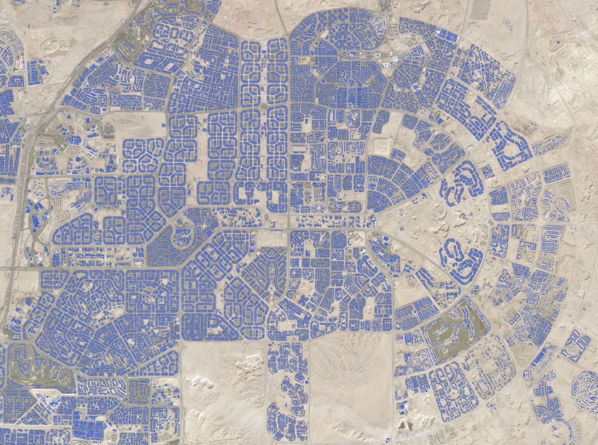
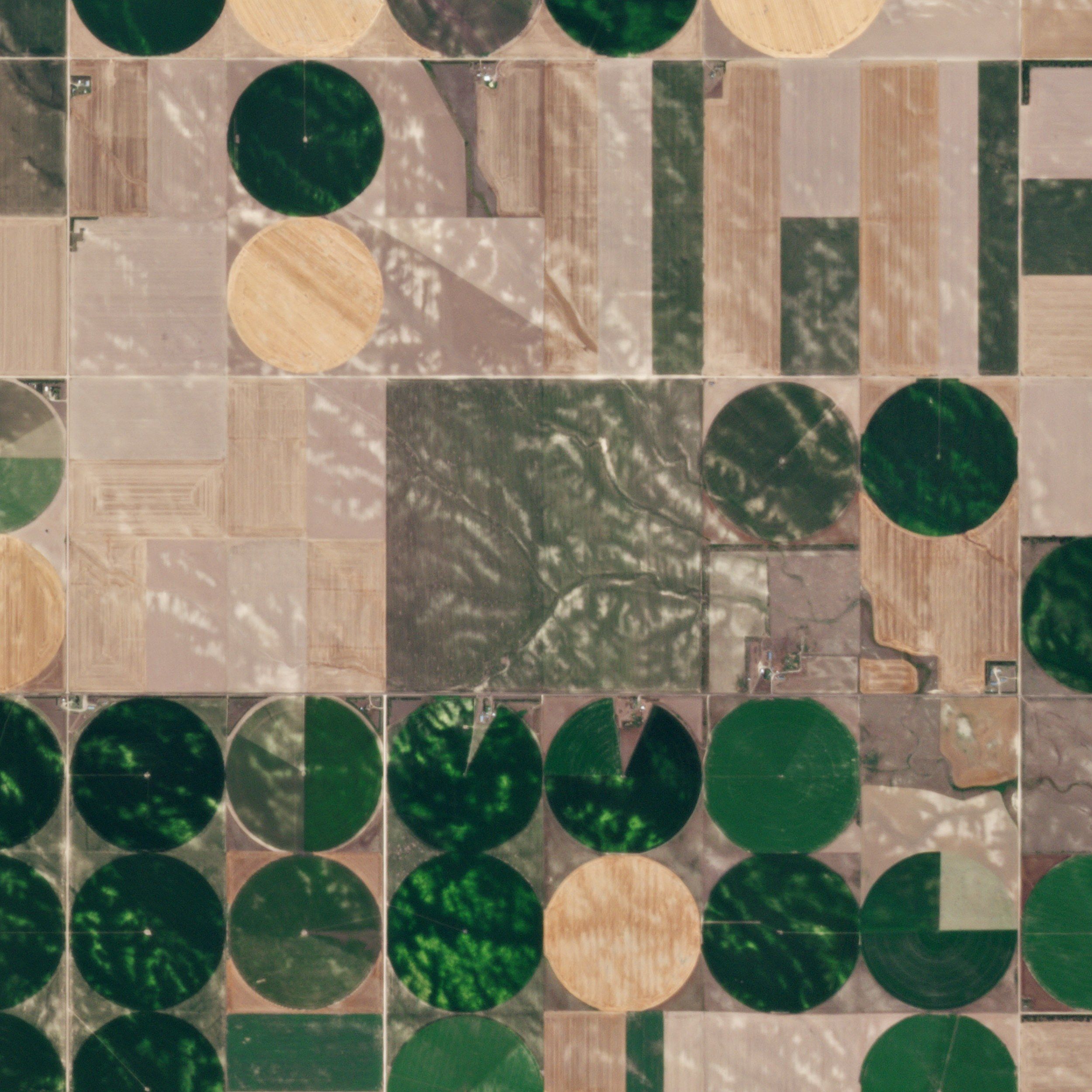
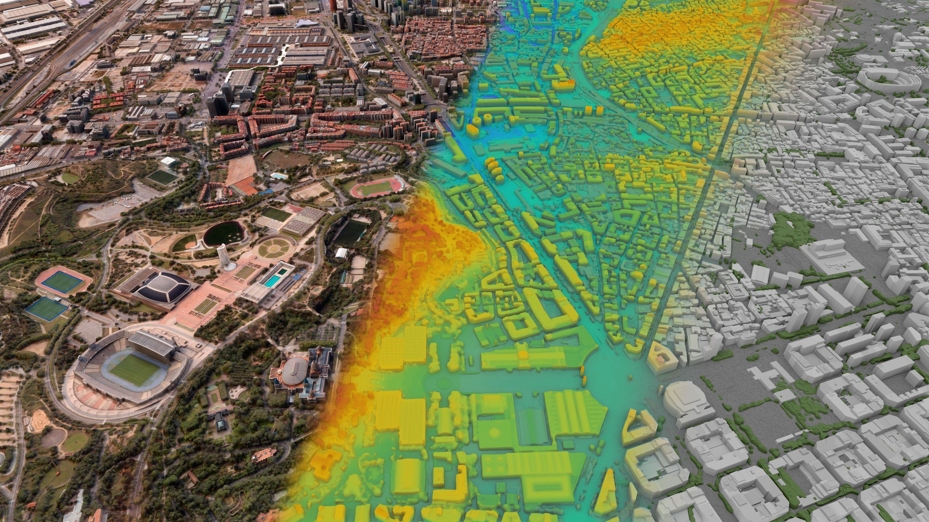
MyView, our Earth observation platform, and five analytics products: vessels, detection and classification, agriculture, water and 3D.
MyView
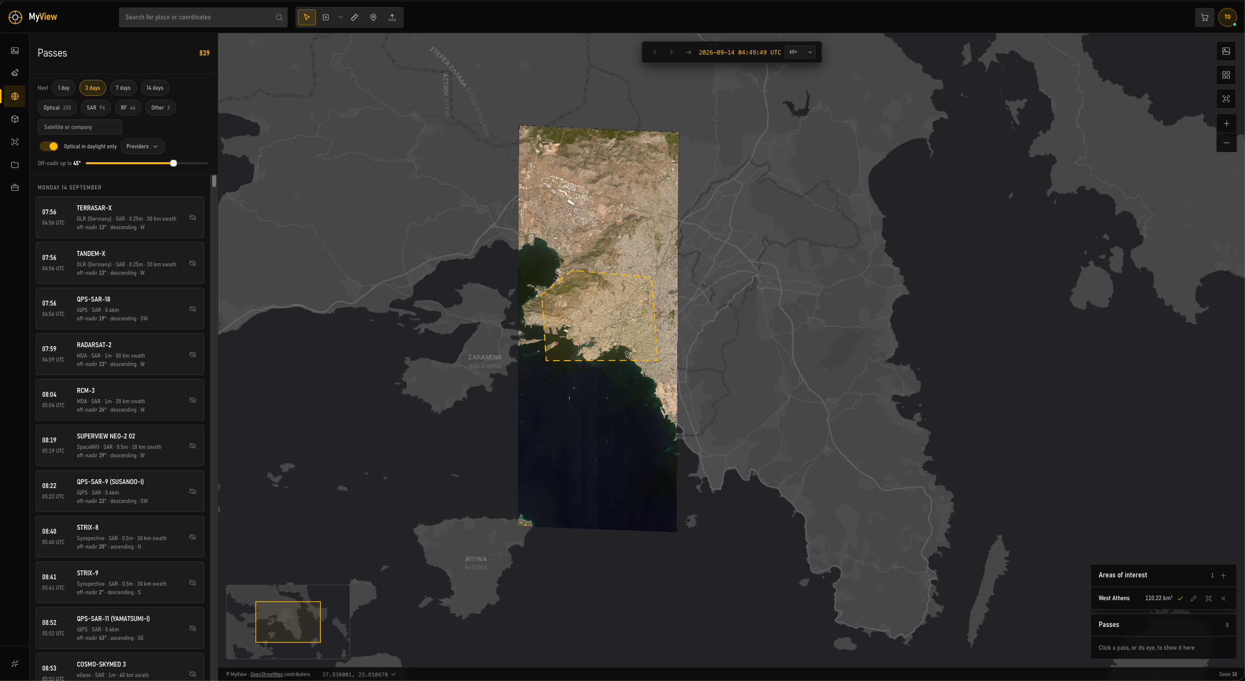
Archive, passes, tasking. One map.
Draw an area of interest and everything keys to it: every archive image over it, every satellite pass coming in the next fourteen days, analytics products clipped to its boundary, and a tasking request in five steps. 220 satellites in orbit, one cart.
- 220satellites in orbit
- 5modules
- 5steps to task
Analytics
Sensors by product
| Product | Optical | SAR | Thermal | Hyperspectral | RF |
|---|---|---|---|---|---|
| Vessel detection | |||||
| Detection and classification | |||||
| Agriculture monitoring | |||||
| Water monitoring | |||||
| 3D products |
Service and delivery
- Single delivery
- One area, one date or one question, delivered as files and a report.
- Monitoring
- Repeat collection on a fixed schedule, with alerts when something changes.
- In MyView
- Results as layers on your area, beside the imagery they came from.
- Integration
- API, OGC services or on-premises deployment inside your own systems.
- Formats
- GeoTIFF and COG rasters; GeoPackage, GeoJSON and Shapefile vectors; CSV tables
- Reference system
- GGRS87 (EGSA87), WGS 84 or as specified
A tool we do not use is a tool we would not sell.
It carries our own work
The national coverages on the work page were sourced and tracked through the same platform. It is not a demo that happens to be public.
Every partner, one interface
Every partner has its own portal unless someone puts them behind one search. That was the original reason for building it.
It is also the contract work
The same team builds geospatial platforms to a customer’s specification. MyView is where a component gets proven before it is quoted.
Need something none of these does?
Geospatial platforms built to order are a business unit here, not a favour. Describe the workflow and we will tell you what of it already exists.