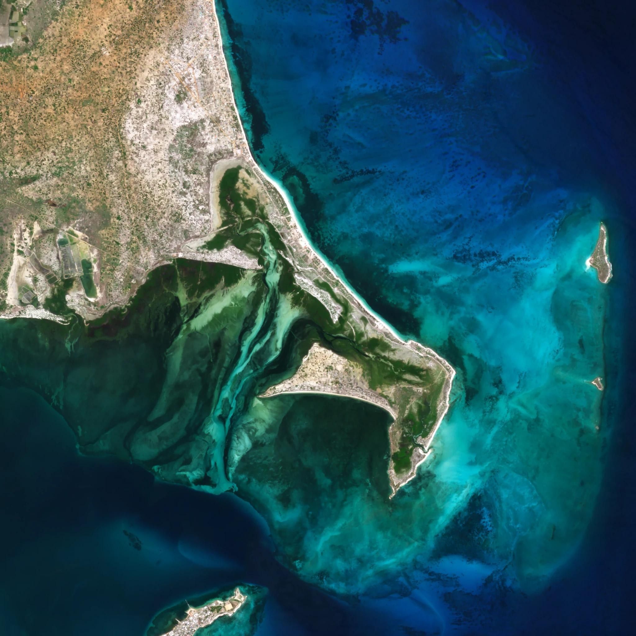
Water monitoring
Water quality, extent and pollution in lakes, reservoirs, rivers and coastal waters, from optical, hyperspectral, thermal and SAR imagery.
- 3 mOptical, daily · Planet
- 5.3 mHyperspectral · Wyvern
- 30 mThermal · constellr
- 25 cmSAR · ICEYE
Parameters
| Parameter | Unit | Sensor |
|---|---|---|
| Chlorophyll-a | mg/m³ | Optical, hyperspectral |
| Cyanobacteria (phycocyanin) | mg/m³ | Hyperspectral |
| Turbidity | FNU | Optical |
| Total suspended matter | g/m³ | Optical |
| Coloured dissolved organic matter | m⁻¹ | Hyperspectral |
| Transparency (Secchi depth) | m | Optical |
| Surface temperature | °C | Thermal |
| Water extent | ha | SAR, optical |
| Oil and floating matter | Detection | SAR, optical |
Outputs
- 01
Quality maps
Parameter maps per date, calibrated with in-situ samples where they exist.
- 02
Algal blooms
Blooms and cyanobacteria flagged in reservoirs, lakes and bathing waters.
- 03
Reservoirs and lakes
Surface area per date; volume where bathymetry is available.
- 04
Floods
Flood extent through cloud and at night.
- 05
Pollution
Oil slicks, outfall plumes and floating debris at sea and along the coast.
- 06
Coast and sediment
Shoreline position, erosion and river sediment plumes.
- 07
Reporting
Indicators for Water Framework Directive and bathing water reporting.
Water bodies
| Body | Parameters | Imagery |
|---|---|---|
| Reservoirs | Extent, volume, chlorophyll, blooms | Optical, SAR |
| Lakes | Quality, temperature, extent | Optical, hyperspectral, thermal |
| Rivers | Extent, sediment, floods | SAR, optical |
| Coastal waters | Turbidity, blooms, pollution, shoreline | Optical, SAR |
| Bathing waters | Blooms, transparency, discharges | Optical, hyperspectral |
| Wetlands | Extent, drying, vegetation | Optical, SAR |
Service
- 01
Monitoring
Each water body on a fixed schedule, with alerts on blooms and pollution.
- 02
Single study
A baseline, an event, or a history rebuilt from the archive.
- 03
Integration
Time series and alerts into your monitoring system by API.
Users
- Water utilities
- River basin authorities
- Environment agencies
- Regions and municipalities
- Port and marine authorities
- Aquaculture
- Civil protection
Delivery
- Parameter maps
- GeoTIFF, Cloud Optimized GeoTIFF, NetCDF
- Time series
- CSV per water body or sampling station
- Extent and detections
- GeoPackage, GeoJSON, Shapefile
- Online
- Layers and alerts in MyView, API