
totalview

Partners

European Space Imaging

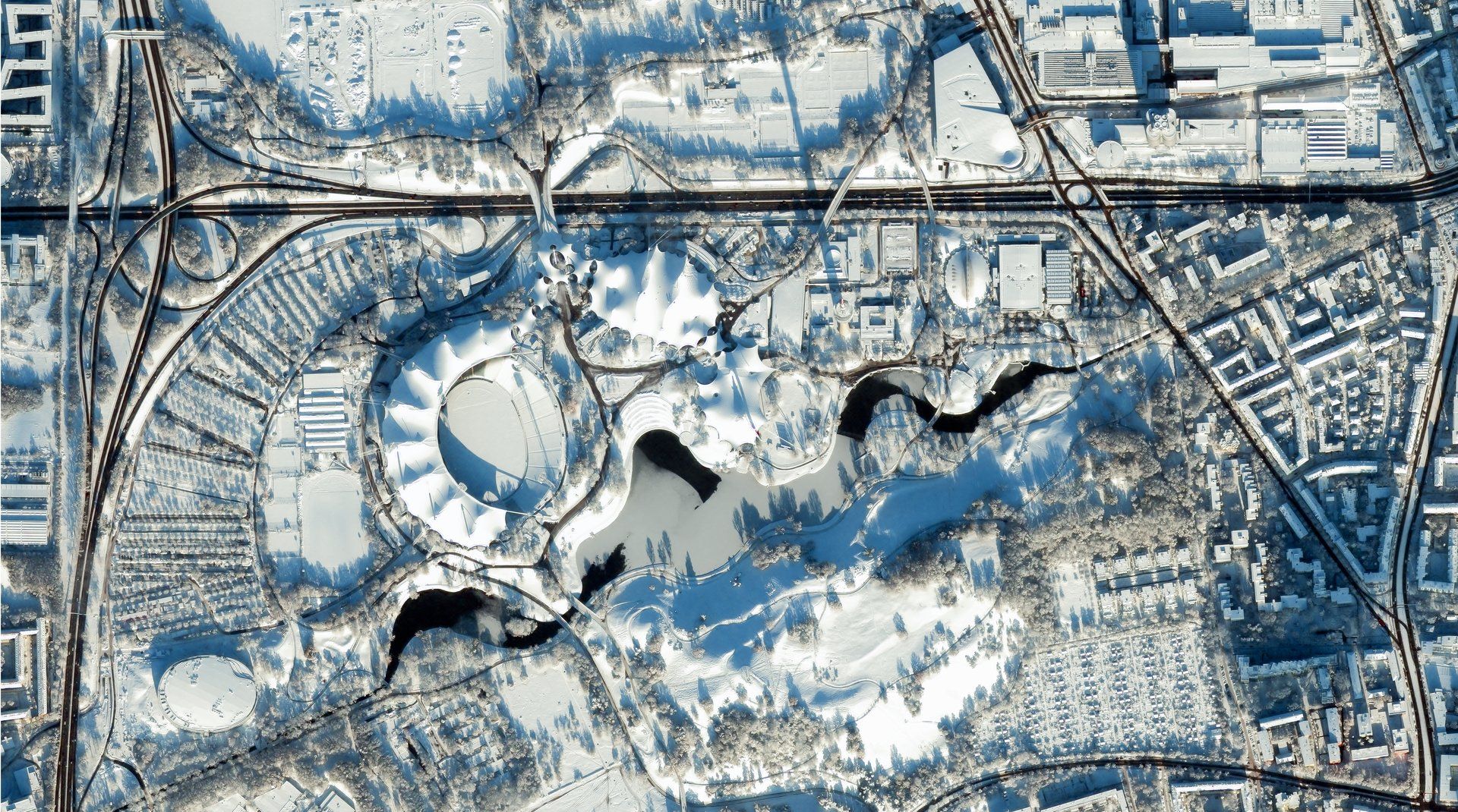
European Space Imaging provides very-high-resolution satellite imagery to customers across Europe. Its services combine imagery acquisition with rapid delivery, helping users obtain detailed views of locations and events when they need them. Through a ground station at the German Aerospace Center, the company accesses optical imaging satellites directly. This operational capability supports responsive collection and the delivery of geospatial information for demanding Earth observation applications.

At a glance

Headquarters
Munich, Germany
Ground station
German Aerospace Center (DLR), direct access
Satellites supplied
32 in orbit: Vantor 10, Satellogic 17, Umbra 5
Best optical resolution
30 cm class (WorldView-3, WorldView Legion)
Best radar resolution
25 cm (Umbra Spotlight)
Revisit
Up to 15 × a day, location-dependent (WorldView)

Satellites

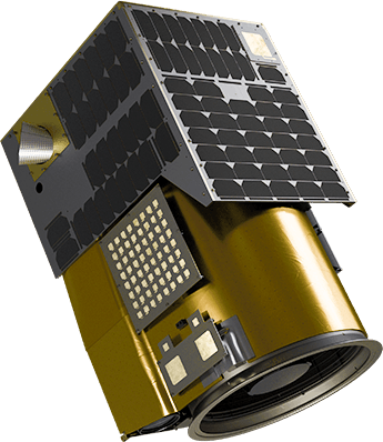
Vantor WorldView

Vantor WorldView

In service
Resolution
30 cm class (WorldView Legion, WorldView-3)
Bands
8 MS (Legion, WV-2) · 8 VNIR + 8 SWIR (WV-3) · 4 MS (GeoEye-1)
Fleet
10: WorldView Legion (6), WorldView-1, -2, -3, GeoEye-1
Revisit
Up to 15 × a day, location-dependent
Archive
QuickBird, IKONOS, WorldView-4 (decommissioned)
Operator
Vantor
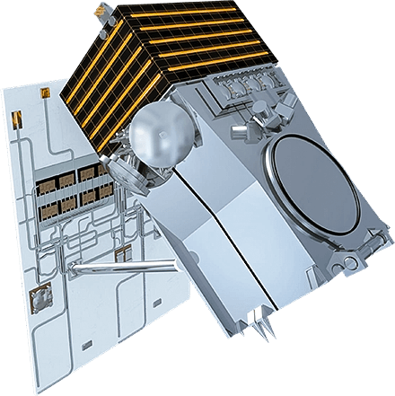
Satellogic Aleph-1

Satellogic Aleph-1

In service
Resolution
70 cm (Mark V) · 99 cm (Mark IV)
Bands
4 multispectral
Swath
6.5 km (Mark V) · 5 km (Mark IV)
Hyperspectral
32 bands, 483–831 nm, 25 m (Mark IV)
Fleet
17 in service + 2 commissioning, December 2025
Operator
Satellogic

Bands

Blue450–510
Green510–580
Red590–690
NIR750–900
  • Blue: 450–510 nm
  • Green: 510–580 nm
  • Red: 590–690 nm
  • NIR: 750–900 nm
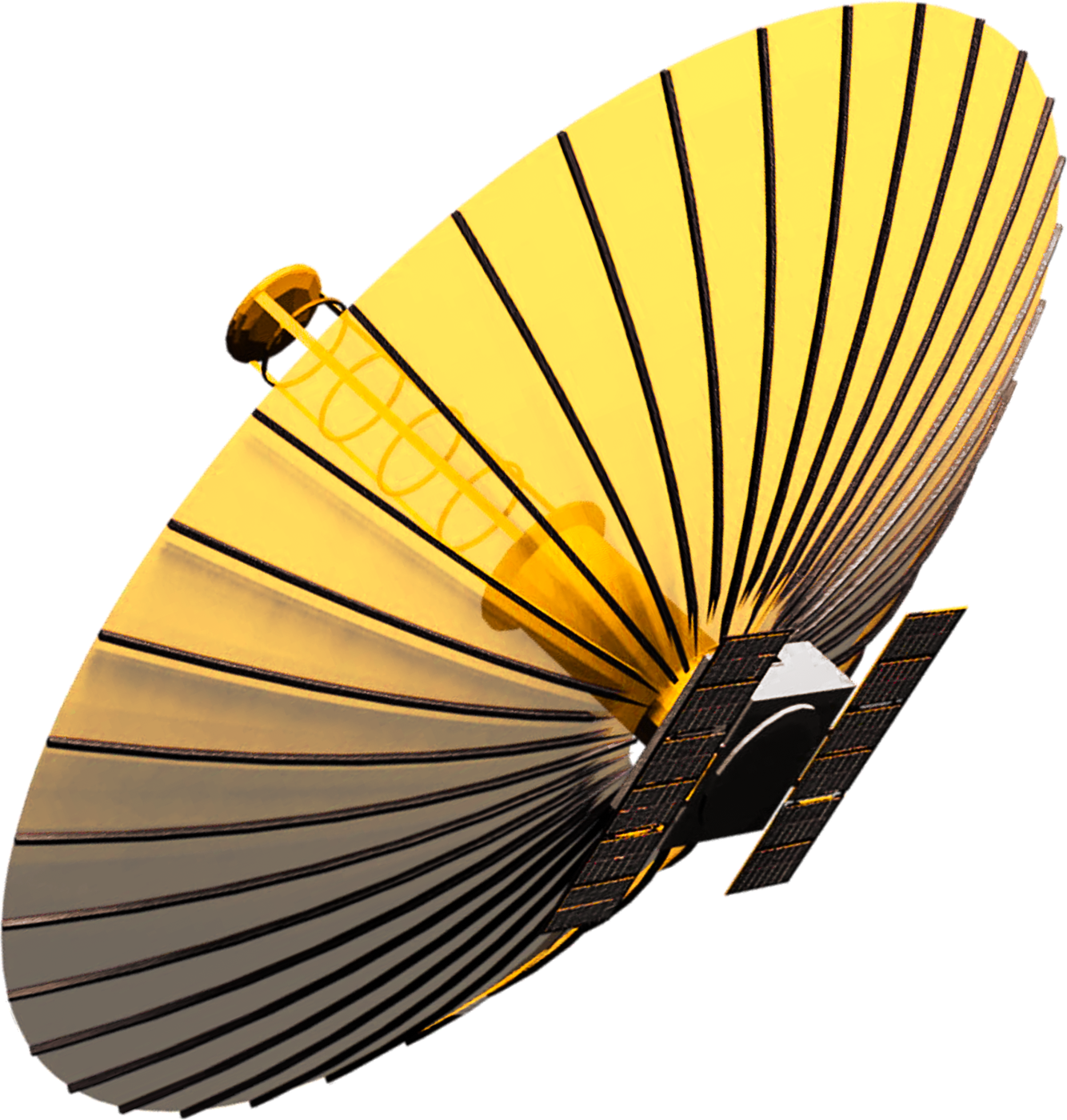
Umbra SAR

Umbra SAR

In service
Resolution
25 cm (Spotlight)
Frequency
X-band, 1200 MHz bandwidth
Scene
5 × 5 to 10 × 10 km
Orbit
500 km sun-synchronous
Flying since
June 2021
Operator
Umbra