
totalview

Partners

GEOSAT

GEOSAT helps organisations apply Earth observation to practical challenges on the ground. It works with businesses, institutions and other users around the world, adapting its services to their particular requirements. By combining satellite capabilities with experience and a flexible approach to customer needs, GEOSAT aims to make information gathered from space more useful for decisions on Earth.

At a glance

Satellites
GEOSAT-1, GEOSAT-2
Formerly
DEIMOS-1, DEIMOS-2
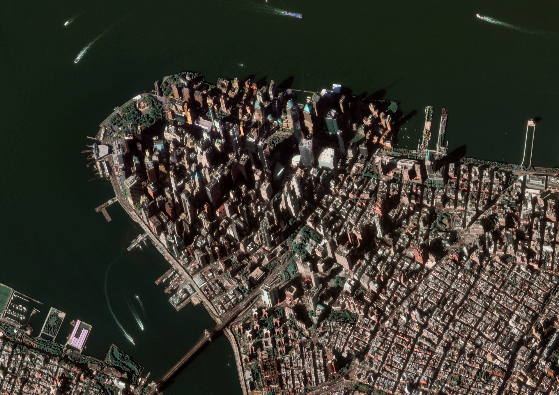
Best resolution
40 cm (GEOSAT-2)
Revisit
~2 days (GEOSAT-2)
Widest swath
600 km (GEOSAT-1)
Planned
3 very-high + 8 high-resolution (Atlantic)

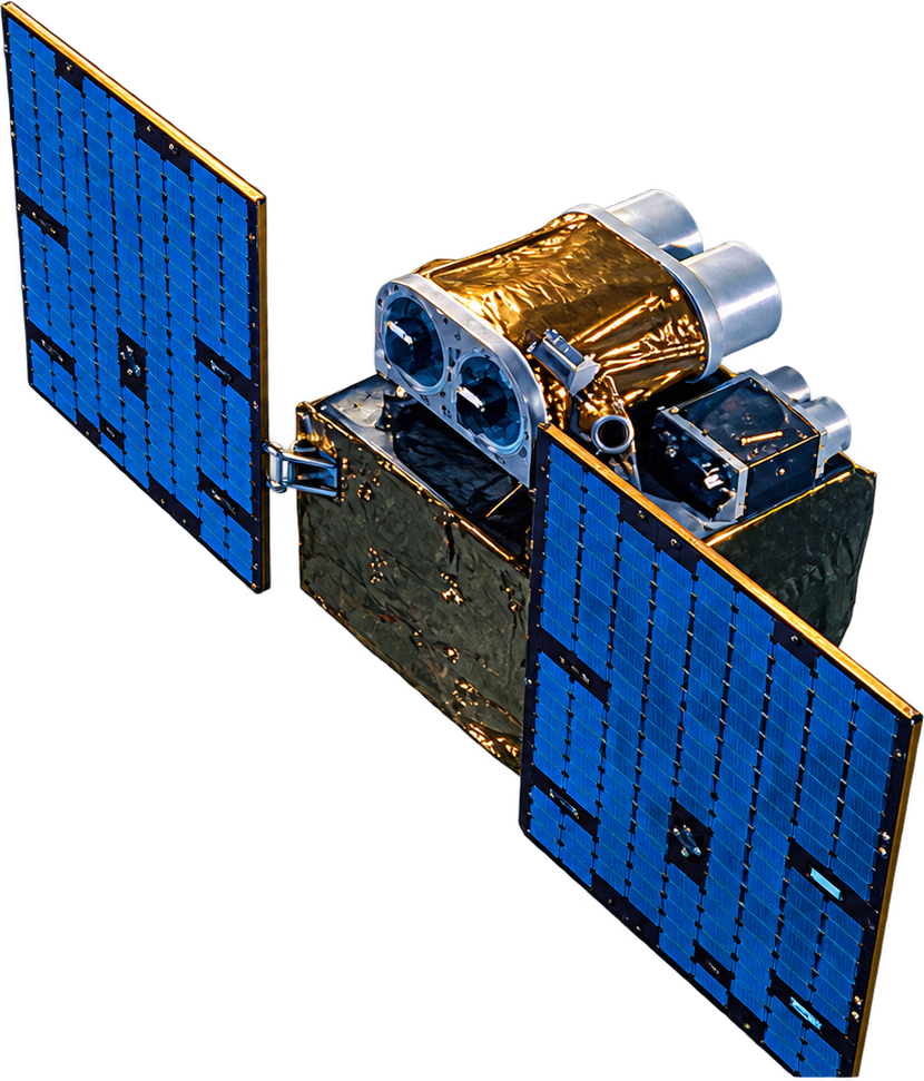
Satellites

GEOSAT-2

GEOSAT-2

In service
Resolution
40 cm pan · 1.6 m MS
Products
75 cm ortho · 40 cm AI-enhanced
Bands
4 multispectral + panchromatic
Swath
12 km; strips to 1,400 km
Orbit
620 km sun-synchronous
Flying since
June 2014

Bands

Panchromatic560–900
Blue466–525
Green532–599
Red640–697
NIR770–892
  • Panchromatic: 560–900 nm
  • Blue: 466–525 nm
  • Green: 532–599 nm
  • Red: 640–697 nm
  • NIR: 770–892 nm
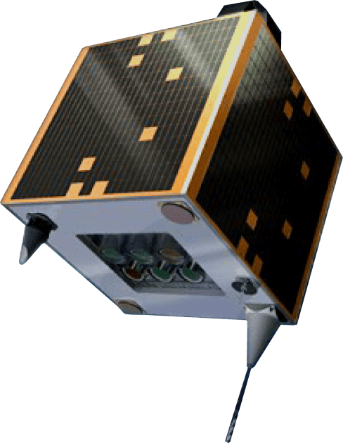
GEOSAT-1

GEOSAT-1

In service
Resolution
20 m
Bands
3 multispectral, no blue
Swath
600 km; strips to 1,000 km
Revisit
2–3 days global · 1–2 days mid-latitudes
Orbit
Sun-synchronous
Flying since
July 2009

Bands

Green520–600
Red630–690
NIR770–900
  • Green: 520–600 nm
  • Red: 630–690 nm
  • NIR: 770–900 nm
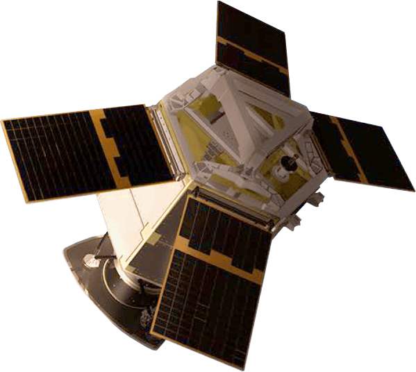
Atlantic · GARAI A/B

Atlantic · GARAI A/B

In service
Resolution
Sub-metre
Bands
14 filters: pan, VNIR, SWIR, polarimetry; video
Swath
~14 km
Fleet
2 precursors · 3 VHR + 8 HR planned
Orbit
500–550 km sun-synchronous
Flying since
January 2025
Instruments
SATLANTIS iSIM-90, iSIM-170
Radar
ICEYE-built partner mission, launched March 2026