
totalview

Partners

GHGSat

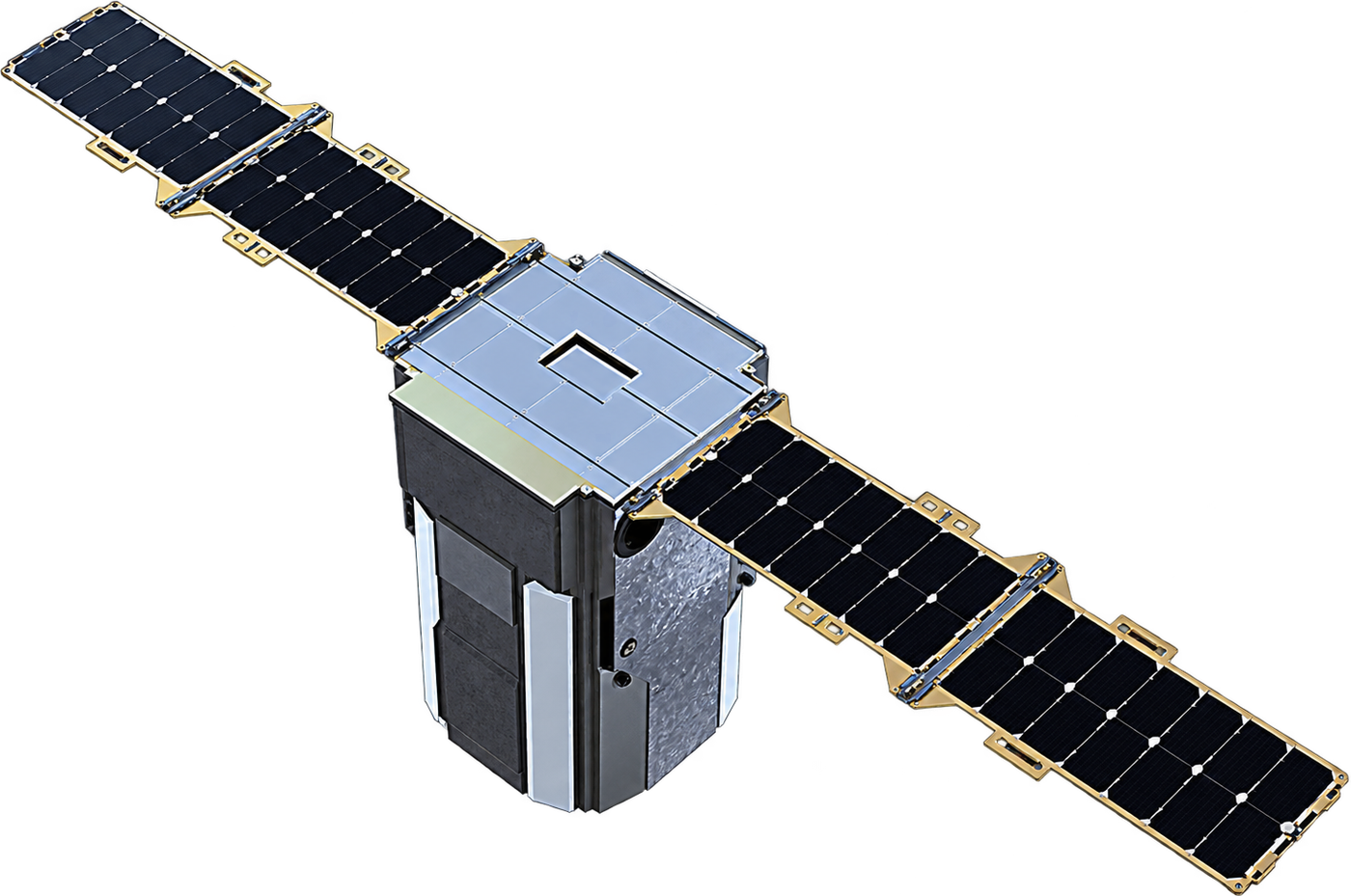
GHGSat monitors greenhouse gas emissions from space, measuring methane and carbon dioxide at the level of individual industrial facilities. Its 18 satellites launched since 2016, together with aircraft sensors and analytics, give operators, governments and investors independent, high-resolution emissions data for oil and gas, mining, waste and industrial sites worldwide.

At a glance

Headquarters
Montréal, Canada
Launched
18 satellites, 2016–2026
Gases
Methane · CO₂ (Vanguard)
Resolution
~25 m
Detection
Methane from 100 kg/h, fleet
Revisit
Priority sites every 1–2 days

Satellites

GHGSat-D · C1–C8 · C12–C13

GHGSat-D · C1–C8 · C12–C13

In service
Resolution
~25 m
Sensor
Fabry-Pérot SWIR imaging spectrometer, ~0.3 nm
Scene
~12 × 12 km, targeted
Bus
SFL NEMO, 15 kg
Orbit
~500 km sun-synchronous
Flying since
June 2016 (Claire, demonstrator)

Bands

Methane1630–1675
  • Methane: 1630–1675 nm
GHGSat-C9–C11 · C14–C17

GHGSat-C9–C11 · C14–C17

In service
Resolution
~25 m
Gases
Methane · CO₂ on C10 (Vanguard)
Scene
~12 × 12 km, targeted
Bus
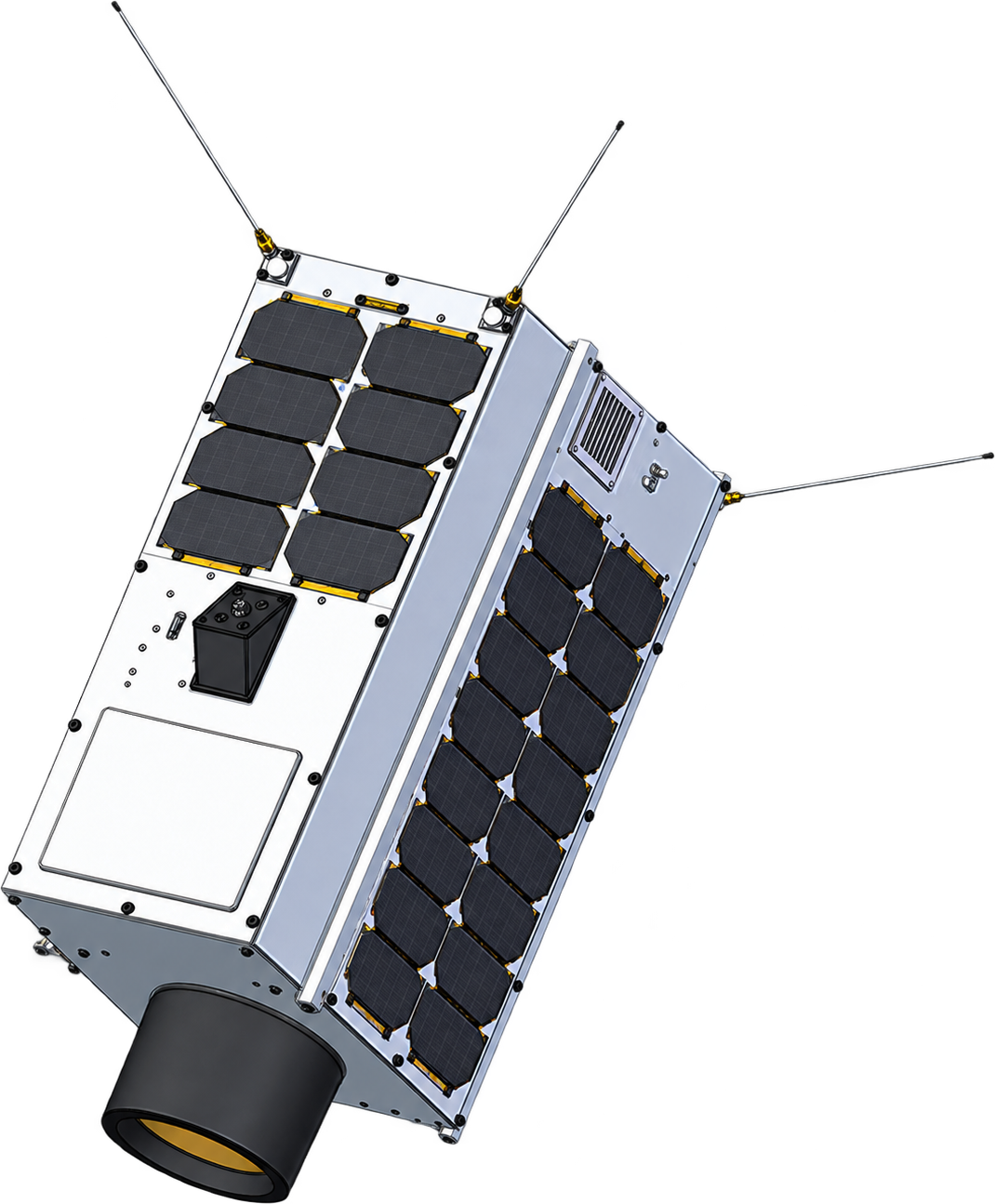
Spire 16U, 20 kg
Delivery
Within 24 h of capture
Flying since
November 2023

Bands

Methane1630–1675
  • Methane: 1630–1675 nm