
totalview

Partners

ICEYE

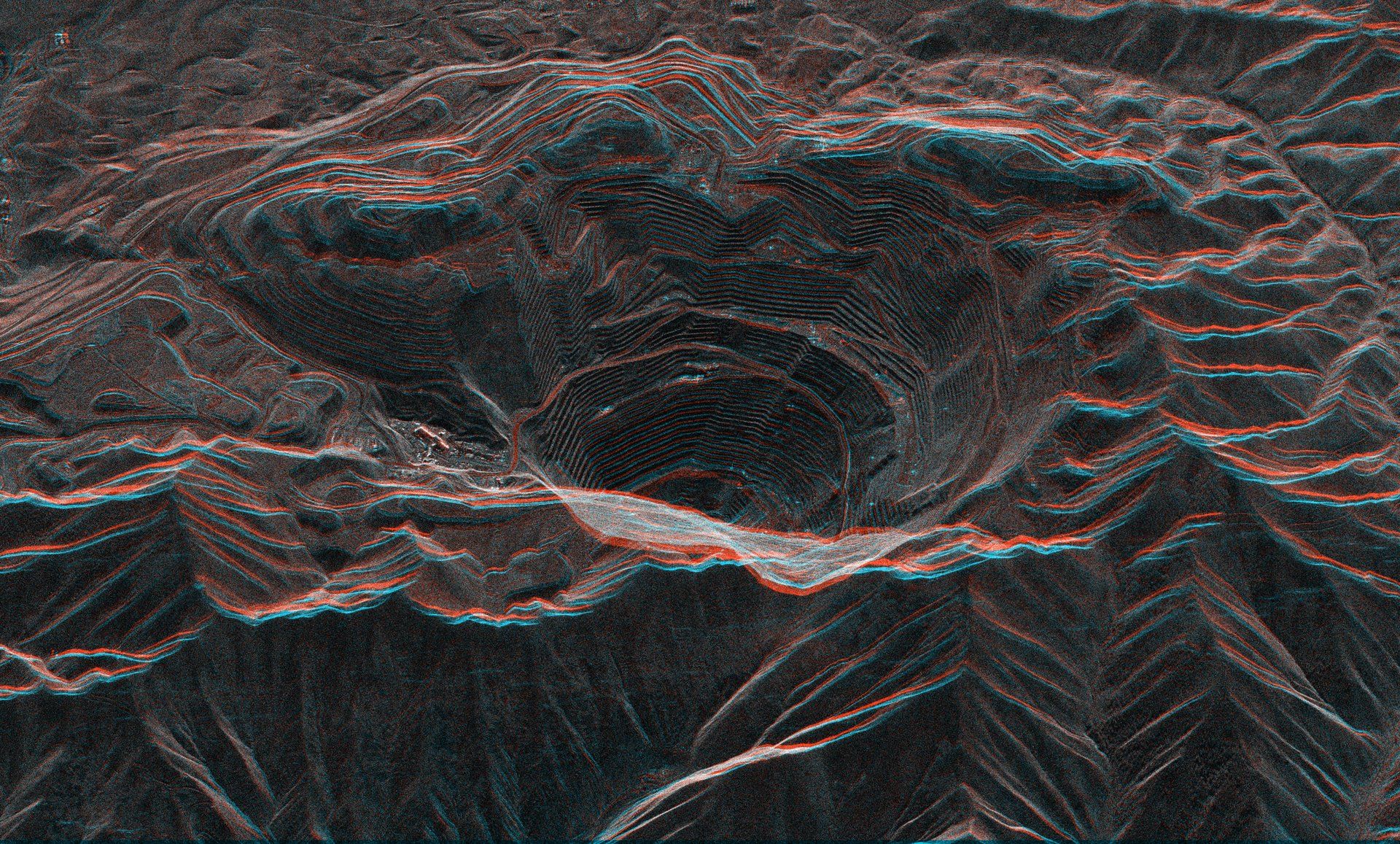
ICEYE provides radar-based satellite intelligence that helps customers detect changes and respond to events across the globe. Its synthetic aperture radar satellites collect observations regardless of lighting or cloud cover, supporting regular monitoring when optical imagery is limited. Alongside imagery and intelligence services, ICEYE supplies satellite capabilities for governments seeking their own sovereign systems. Its technology supports defence, environmental observation, insurance and emergency response.

At a glance

Headquarters
Espoo, Finland
Founded
2014
Launched
76 satellites, incl. customer systems, to July 2026
In orbit
33 ICEYE-operated; 19 more owned by government customers, incl. Greece
Best resolution
25 cm
Sensor
X-band SAR, 9.65 GHz
Largest scene
200 × 600 km (Scan Wide)

Satellites

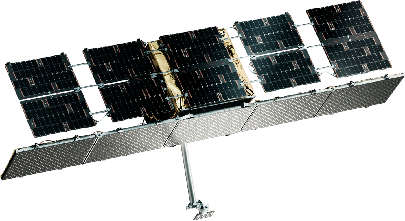
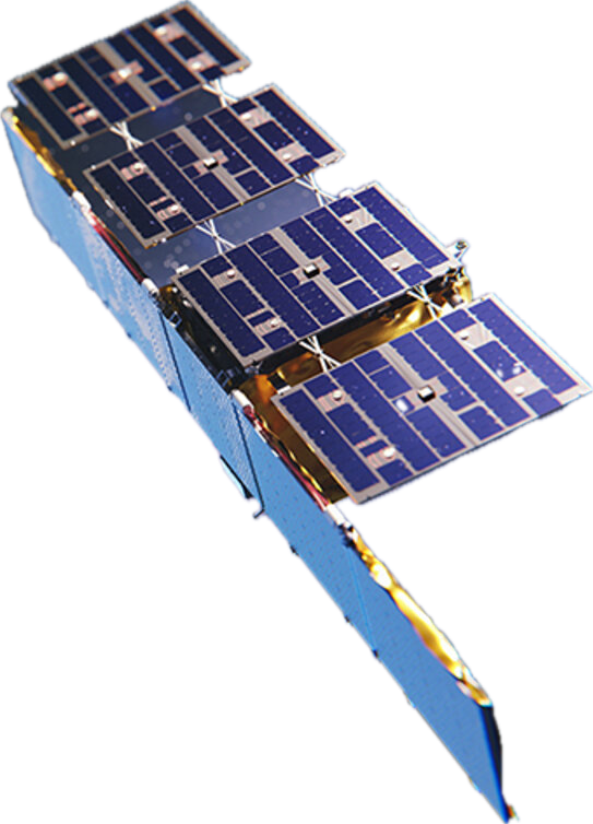
ICEYE Gen2 / Gen3 / Gen3.5

ICEYE Gen2 / Gen3 / Gen3.5

In service
Resolution
25 cm (Dwell Precise) to 27 m (Scan Wide)
Frequency
X-band, 9.65 GHz; 300 / 600 / 1,200 MHz
Polarisation
VV
Modes
Dwell, Spot, Strip, Scan, Scan Wide
Scene
5 × 5 km (Dwell) to 200 × 600 km (Scan Wide)
Flying since
2018
ICEYE Gen4

ICEYE Gen4

In service
Resolution
25 cm
Field of regard
400 km
Flying since
March 2025