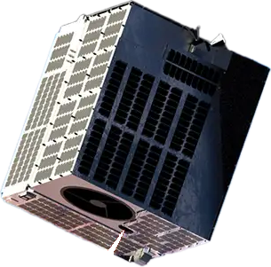
NUVIEW LiDAR satellites
Announced- Sensor
- LiDAR
- Fleet
- 20 satellites planned
- Coverage
- Global land surface, annually
- Products
- Point clouds · DSM · DTM
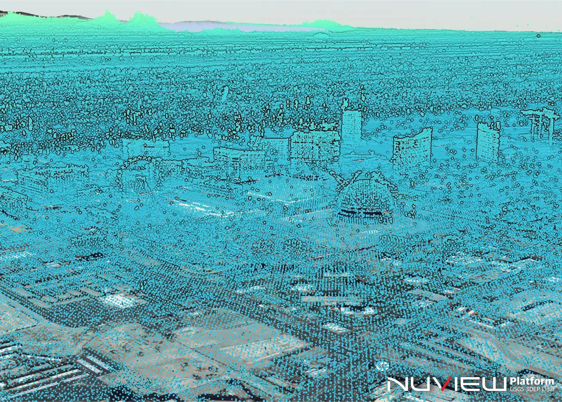

NUVIEW is developing satellite-based LiDAR capabilities to improve the quality and reach of elevation mapping. Its ambition is to fly commercial satellites that measure the Earth’s surface in three dimensions, providing a new foundation for reliable terrain data.