

totalview

Partners

Pixxel

Pixxel supplies hyperspectral satellite observations and analytical tools that help organisations understand the Earth’s surface in greater detail. Its imaging technology captures information across many spectral bands, revealing characteristics that ordinary colour imagery may miss. The company serves users in agriculture, energy, environmental monitoring and mining, combining observations from its commercial satellites with tools that support more informed and timely decisions.

At a glance

Headquarters
Bengaluru, India
Founded
2019
Satellites
6 Firefly in service; Honeybee announced
Best resolution
5 m (Firefly)
Revisit
24 h, six Firefly satellites
Spectral bands
135 VNIR, 470–900 nm (Firefly)

Satellites

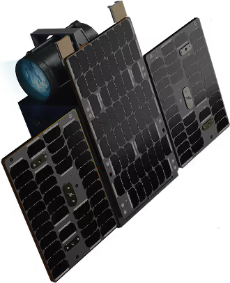
Firefly

Firefly

In service
Resolution
5 m
Bands
135 VNIR, 470–900 nm; up to 45 per capture
Swath
40 km
Revisit
24 h, six satellites
Orbit
590 km sun-synchronous, 97.65°
Flying since
January 2025
135bands
Range
470–900 nm
Band width
4.0–11.5 nm

Honeybee

Announced
Resolution
5 m target
Bands
~160 VNIR + ~100 SWIR, 470–2500 nm; 72 per capture
Swath
30 km VNIR · 10 km SWIR
Revisit
1–4 days, by latitude
Orbit
550 km sun-synchronous, 97.45° (design)
Launch
Honeybee Zero 2027
~260bands
Range
470–2500 nm