
totalview

Partners

Planet

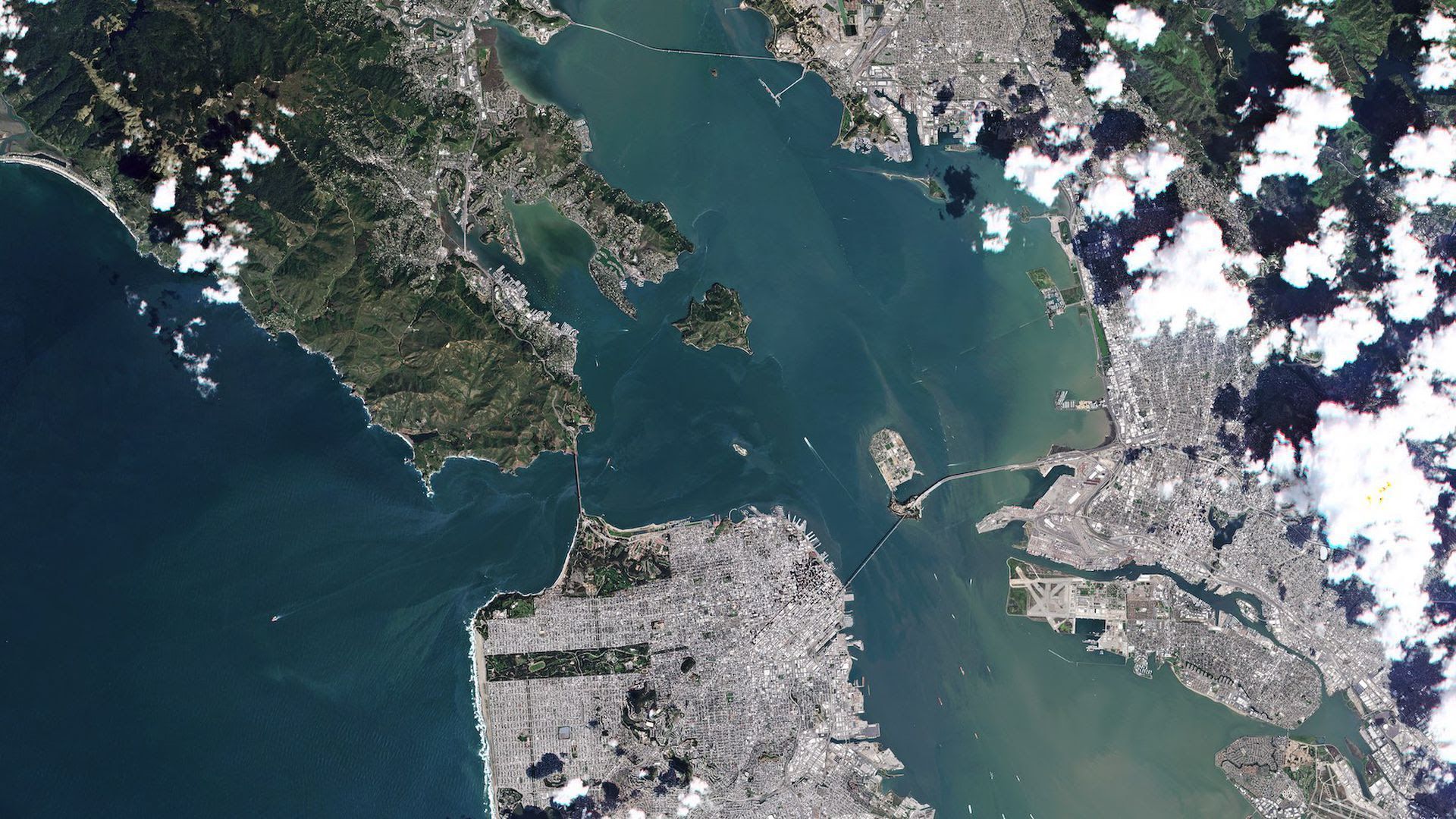
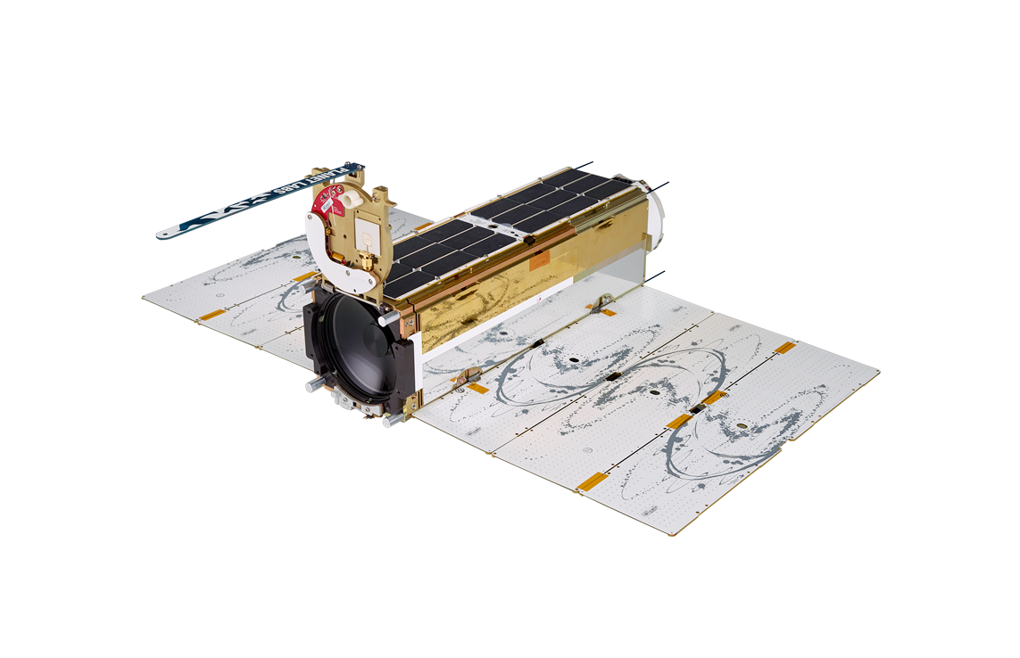
Planet is a leading provider of global, daily satellite imagery and geospatial solutions. Planet is driven by a mission to image the world every day, and make change visible, accessible and actionable. Founded in 2010 by three NASA scientists, Planet designs, builds, and operates the largest Earth observation fleet of imaging satellites. Planet provides mission-critical data, advanced insights, and software solutions to customers comprising the world’s leading agriculture, forestry, intelligence, education and finance companies and government agencies, enabling users to simply and effectively derive unique value from satellite imagery. Planet is a public benefit corporation listed on the New York Stock Exchange as PL.

At a glance

Headquarters
San Francisco, California
Founded
2010
Satellites
110+ in orbit: PlanetScope, SkySat, Pelican, Tanager
Best resolution
50 cm (SkySat, Pelican)
Daily coverage
Every landmass, 3 m
How we buy
Archive and tasking, both

Satellites

PlanetScope

PlanetScope

In service
Resolution
3 m
Bands
8 (SuperDove)
Scene
32.5 × 19.6 km
Revisit
Daily, all landmasses
Orbit
Launched to 525 km sun-synchronous, 98°
Flying since
2014; SuperDove from 2020

Bands

Coastal Blue443
Blue490
Green I531
Green565
Yellow610
Red665
Red Edge705
NIR865
  • Coastal Blue: 443 nm
  • Blue: 490 nm
  • Green I: 531 nm
  • Green: 565 nm
  • Yellow: 610 nm
  • Red: 665 nm
  • Red Edge: 705 nm
  • NIR: 865 nm
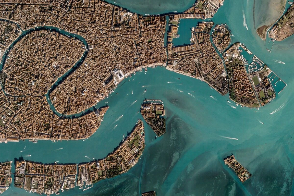
PlanetScope image of Venice: the Grand Canal curving through the dense historic centre, with boat wakes across the lagoon
SkySat

SkySat

In service
Resolution
50 cm, orthorectified
Bands
4 multispectral + panchromatic
Swath
5.73 km
Revisit
Up to 10 × a day
Video
30–120 s at 30 fps
Fleet
14 satellites in orbit, 475 km

Bands

Blue450–515
Green515–595
Red605–695
NIR740–900
Panchromatic450–900
  • Blue: 450–515 nm
  • Green: 515–595 nm
  • Red: 605–695 nm
  • NIR: 740–900 nm
  • Panchromatic: 450–900 nm
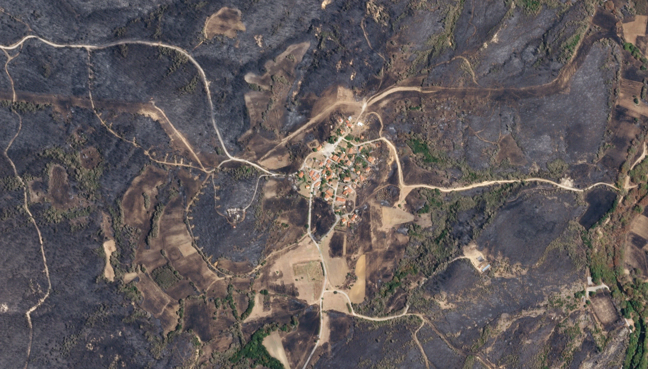
SkySat image of a hillside village left standing inside a large burn scar, its orange roofs surrounded by scorched ground and pale dirt tracks
Pelican

Pelican

In service
Resolution
50 cm pan · 1 m MS · 50 cm pansharpened
Bands
6 multispectral + panchromatic
Swath
8 km at nadir
On board
NVIDIA Jetson edge compute
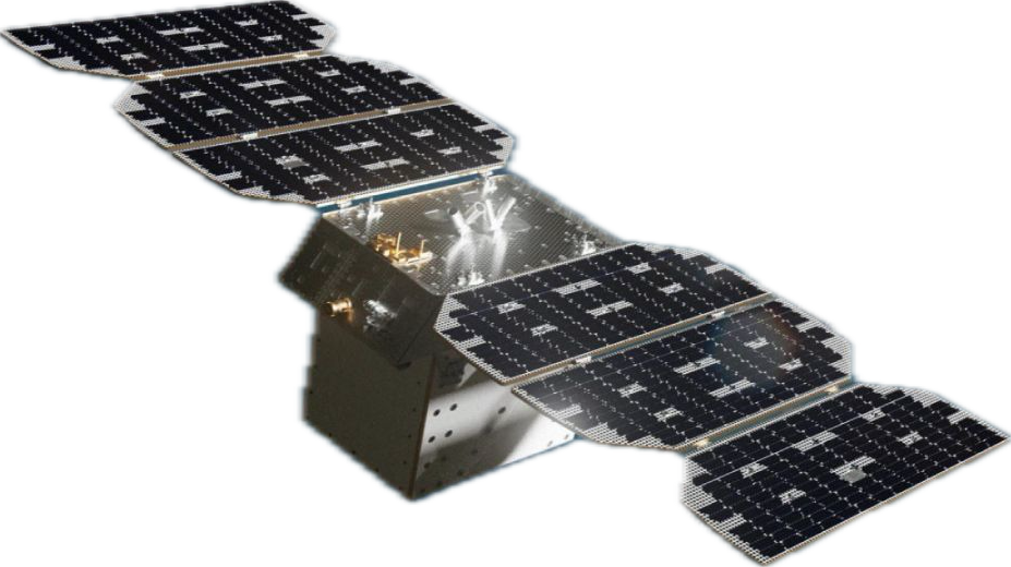
Pelican-2
Launched 14 January 2025
Generation 2
Expected in service 2026

Bands

Panchromatic450–800
Blue465–518
Green547–585
Red650–682
Red Edge I699–716
NIR Wide779–885
NIR Narrow846–887
  • Panchromatic: 450–800 nm
  • Blue: 465–518 nm
  • Green: 547–585 nm
  • Red: 650–682 nm
  • Red Edge I: 699–716 nm
  • NIR Wide: 779–885 nm
  • NIR Narrow: 846–887 nm
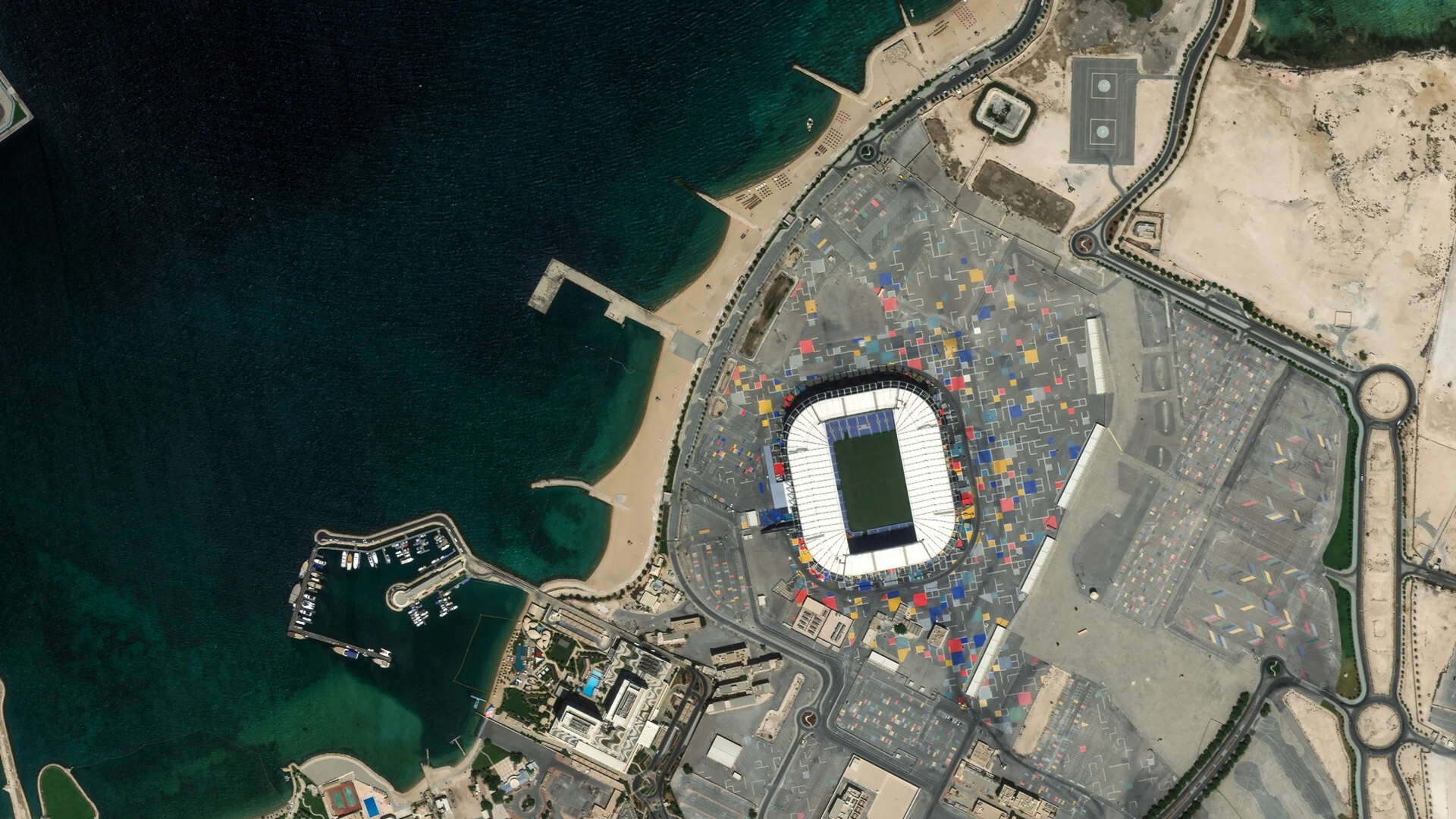
Pelican image of a waterfront stadium built from stacked shipping containers, beside a marina and a sweep of engineered beach
Tanager

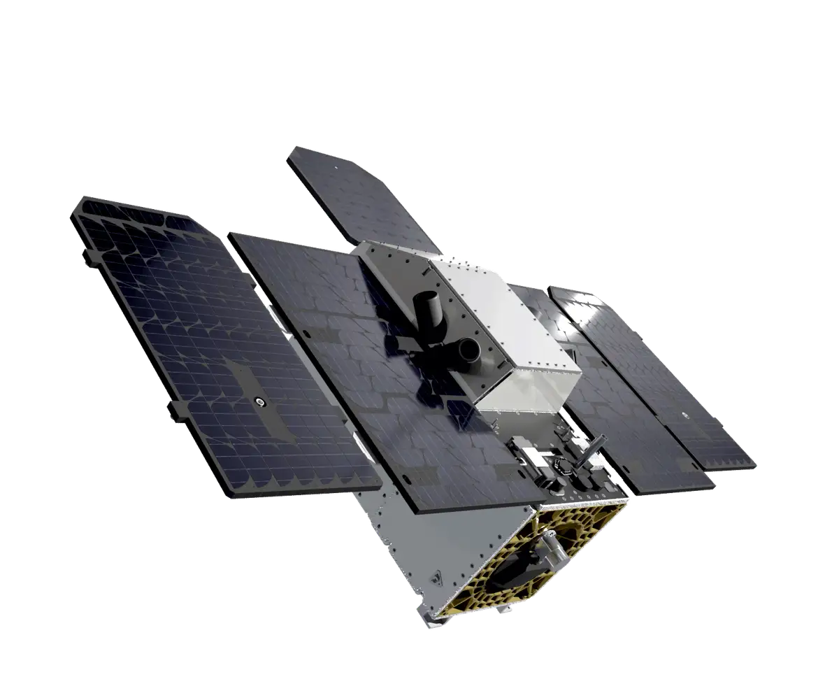
Tanager

In service
Resolution
30 m
Bands
≈ 426, about 5 nm apart
Spectral range
380–2500 nm
Swath
18 km
Launched
August 2024
Reads
Methane and CO₂ point sources
~426bands
Range
380–2500 nm
Spacing
~5 nm
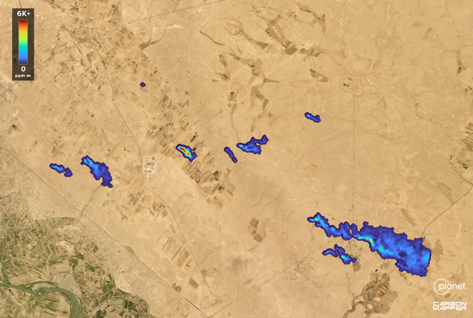
Tanager methane map over arid terrain: several blue-to-red plumes marked against desert, with a scale running from 0 to over 6,000 ppm-m
Owl

Owl

Announced
Resolution
1 m class, pan and multispectral
Bands
SuperDove core bands
Revisit
Near-daily, global
On board
NVIDIA GPUs, AI at the edge
Latency
Insight within about an hour
Status
Demonstrator late 2026