
totalview

Partners

SatVu

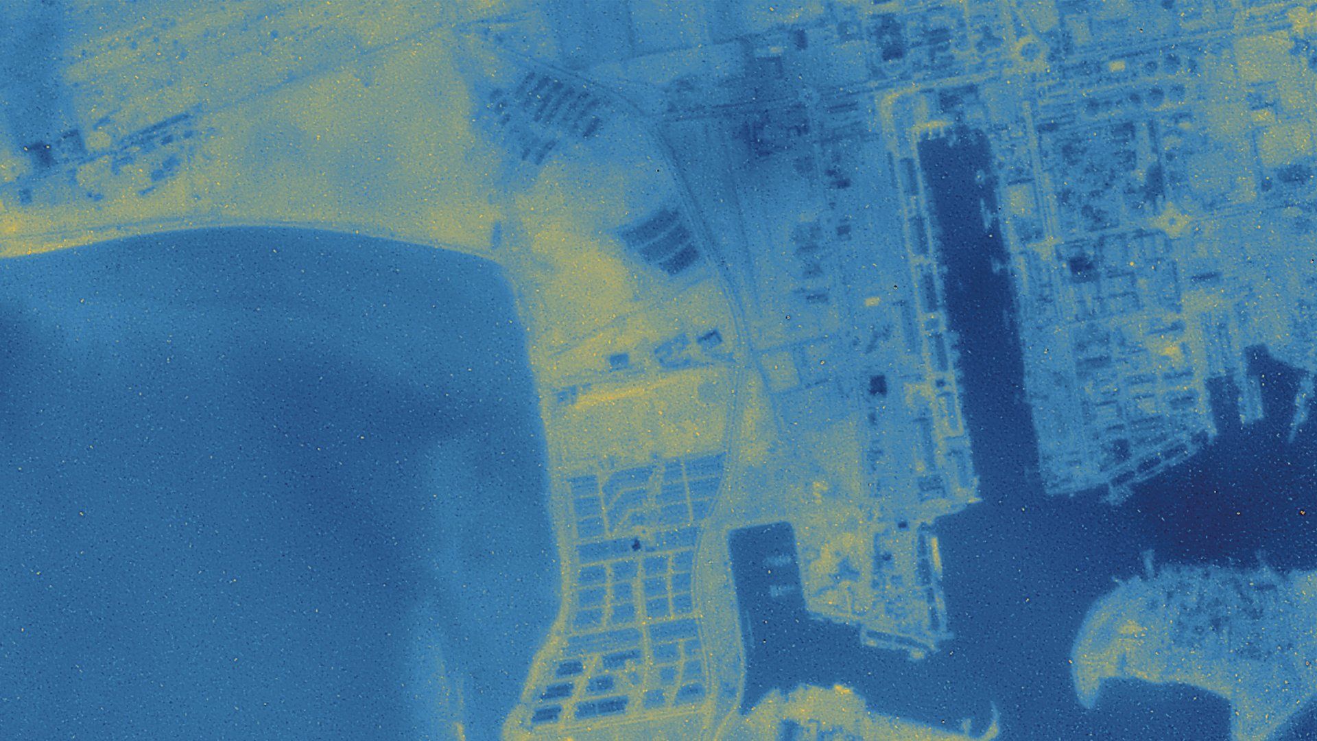
SatVu uses thermal satellite imaging to reveal heat patterns and activity that conventional imagery can overlook. Its approach combines detailed still images with short thermal video, enabling observation during daylight and at night. These insights support economic analysis, security, infrastructure assessment and climate resilience, including the study of heat in urban areas. By collecting measurements from orbit, SatVu aims to make thermal intelligence accessible across widely dispersed and difficult-to-reach locations.

At a glance

Headquarters
London, United Kingdom
Founded
2016
Fleet
HotSat-2 in service; 10+ planned
Best resolution
3.5 m thermal
Sensor
Mid-wave infrared, 3700–4950 nm
Commercial operations
June 2026

Satellites

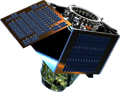
HotSat-2

HotSat-2

In service
Resolution
3.5 m thermal
Bands
1 MWIR, day and night passbands
Frame
1280 × 1024 px
Orbit
512 km sun-synchronous
Flying since
March 2026
Archive
HotSat-1, June–December 2023

Bands

MWIR, night3700–4950
MWIR, day4500–4950
  • MWIR, night: 3700–4950 nm
  • MWIR, day: 4500–4950 nm
HotSat-3

HotSat-3

Announced
Resolution
3.5 m class
Bands
MWIR
Fleet
10+ satellites planned
Launch
2026 target