
totalview

Partners

Vantor

Vantor builds spatial intelligence for a more automated, interoperable world. It gives decision makers and operators a unified intelligence picture of what is happening now and what is coming next. It fuses data from its imaging satellites with real-time sensor feeds from space, air and ground into a continuously updated digital replica of Earth. Its AI-powered spatial intelligence platform automates the intelligence cycle, from tasking to collection to production. Its products serve defence, intelligence and commercial users and connect the next generation of autonomous systems.

At a glance

Headquarters
Westminster, Colorado
Formerly
Maxar Intelligence, to October 2025
Fleet
10 in service; Pulse and Vantage announced
Best resolution
30 cm class (WorldView Legion) · 15 cm HD
Revisit
Up to 15 × a day, whole fleet
Short-wave infrared
8 SWIR bands (WorldView-3)

Satellites

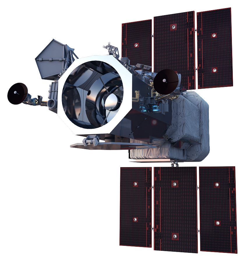
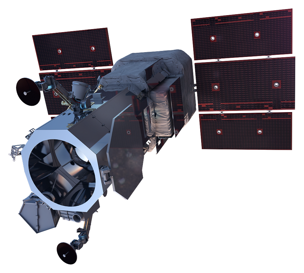
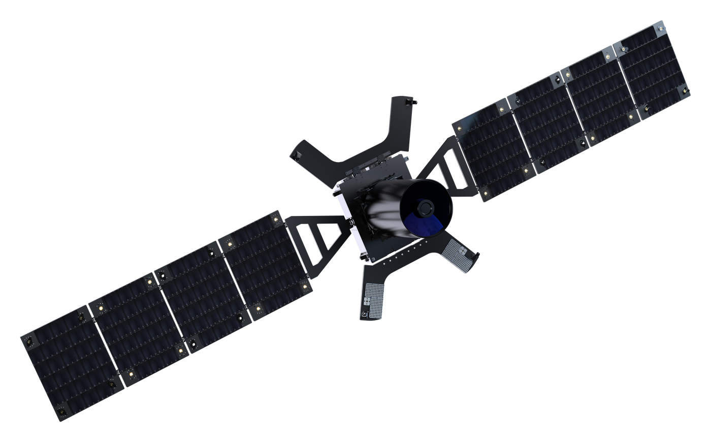
WorldView Legion

WorldView Legion

In service
Resolution
30 cm class pan · 1.36 m MS
Bands
8 multispectral + panchromatic
Swath
10 km at nadir
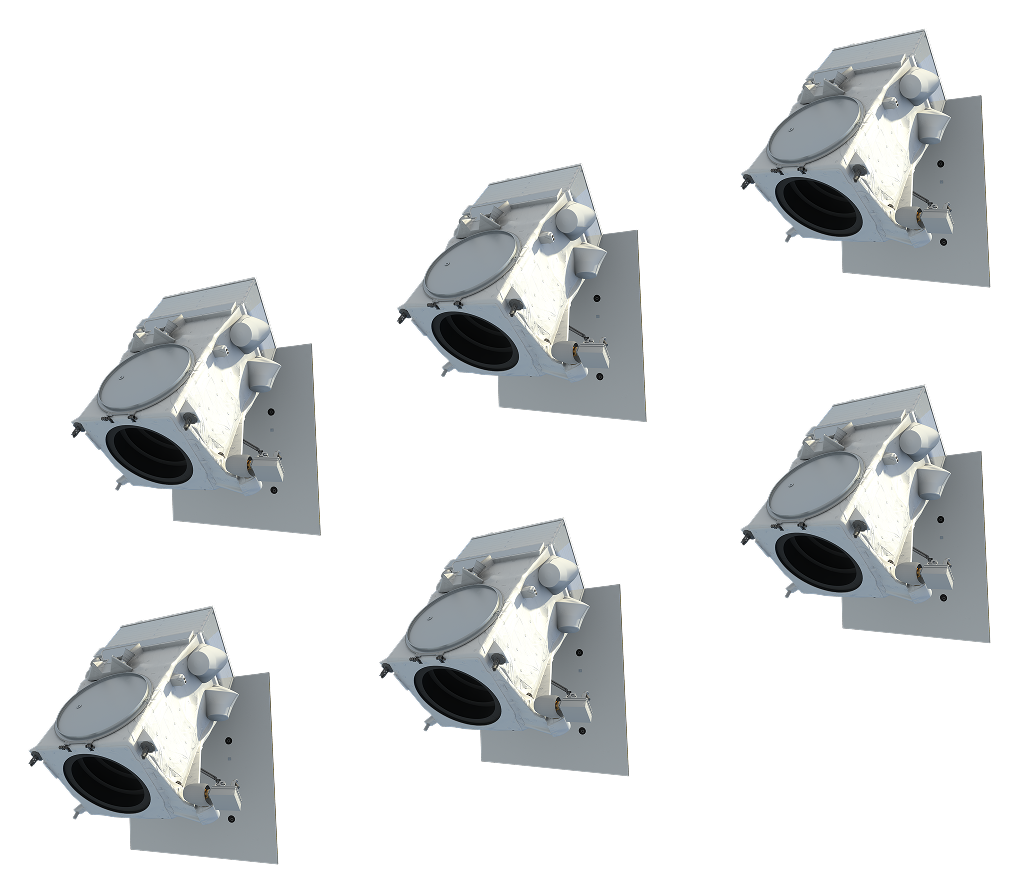
Fleet
6 satellites
Orbit
518 km, sun-synchronous and mid-inclination
Flying since
2024

Bands

Panchromatic450–800
Coastal400–450
Blue450–510
Green510–580
Yellow585–625
Red630–690
Red Edge 1695–715
Red Edge 2730–750
NIR770–895
  • Panchromatic: 450–800 nm
  • Coastal: 400–450 nm
  • Blue: 450–510 nm
  • Green: 510–580 nm
  • Yellow: 585–625 nm
  • Red: 630–690 nm
  • Red Edge 1: 695–715 nm
  • Red Edge 2: 730–750 nm
  • NIR: 770–895 nm
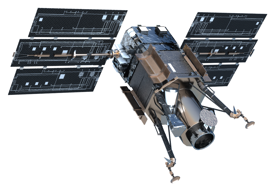
WorldView-3

WorldView-3

In service
Resolution
31 cm pan · 1.24 m VNIR · 3.7 m SWIR
Bands
8 VNIR + 8 SWIR + panchromatic
Swath
13.1 km
Atmosphere
CAVIS, 12 channels at 30 m
Orbit
617 km sun-synchronous
Flying since
2014

Bands

Panchromatic450–800
Coastal400–450
Blue450–510
Green510–580
Yellow585–625
Red630–690
Red Edge705–745
NIR1770–895
NIR2860–1040
SWIR11195–1225
SWIR21550–1590
SWIR31640–1680
SWIR41710–1750
SWIR52145–2185
SWIR62185–2225
SWIR72235–2285
SWIR82295–2365
  • Panchromatic: 450–800 nm
  • Coastal: 400–450 nm
  • Blue: 450–510 nm
  • Green: 510–580 nm
  • Yellow: 585–625 nm
  • Red: 630–690 nm
  • Red Edge: 705–745 nm
  • NIR1: 770–895 nm
  • NIR2: 860–1040 nm
  • SWIR1: 1195–1225 nm
  • SWIR2: 1550–1590 nm
  • SWIR3: 1640–1680 nm
  • SWIR4: 1710–1750 nm
  • SWIR5: 2145–2185 nm
  • SWIR6: 2185–2225 nm
  • SWIR7: 2235–2285 nm
  • SWIR8: 2295–2365 nm
WorldView-2

WorldView-2

In service
Resolution
46 cm pan · 1.85 m MS
Bands
8 multispectral + panchromatic
Swath
16.4 km at nadir
Orbit
770 km sun-synchronous
Flying since
October 2009
Fleet
1 satellite

Bands

Panchromatic450–800
Coastal400–450
Blue450–510
Green510–580
Yellow585–625
Red630–690
Red Edge705–745
NIR1770–895
NIR2860–1040
  • Panchromatic: 450–800 nm
  • Coastal: 400–450 nm
  • Blue: 450–510 nm
  • Green: 510–580 nm
  • Yellow: 585–625 nm
  • Red: 630–690 nm
  • Red Edge: 705–745 nm
  • NIR1: 770–895 nm
  • NIR2: 860–1040 nm
GeoEye-1

GeoEye-1

In service
Resolution
46 cm pan · 1.84 m MS
Bands
4 multispectral + panchromatic
Swath
15.3 km
Revisit
2.6 days at 40° N
Orbit
681 km sun-synchronous
Flying since
September 2008

Bands

Panchromatic450–800
Blue450–510
Green510–580
Red655–690
NIR780–920
  • Panchromatic: 450–800 nm
  • Blue: 450–510 nm
  • Green: 510–580 nm
  • Red: 655–690 nm
  • NIR: 780–920 nm
WorldView-1

WorldView-1

In service
Resolution
50 cm class, panchromatic only
Bands
Panchromatic
Swath
17.7 km
Revisit
1.7 days at ≤ 1 m, 40° N
Orbit
496 km sun-synchronous
Flying since
September 2007

Bands

Panchromatic400–900
  • Panchromatic: 400–900 nm
Pulse

Pulse

Announced
Resolution
40 cm class
Bands
8 multispectral
Revisit
As often as every 15 minutes
Capacity
> 300,000 km² a day
Orbit
450–600 km mid-inclination
Launch
As early as 2027
Vantage

Vantage

Announced
Resolution
20 cm class
Bands
8 multispectral
Geolocation
< 5 m CE90
Capacity
> 1.5 million km² a day
Orbit
450–600 km sun-synchronous
Launch
As early as 2029