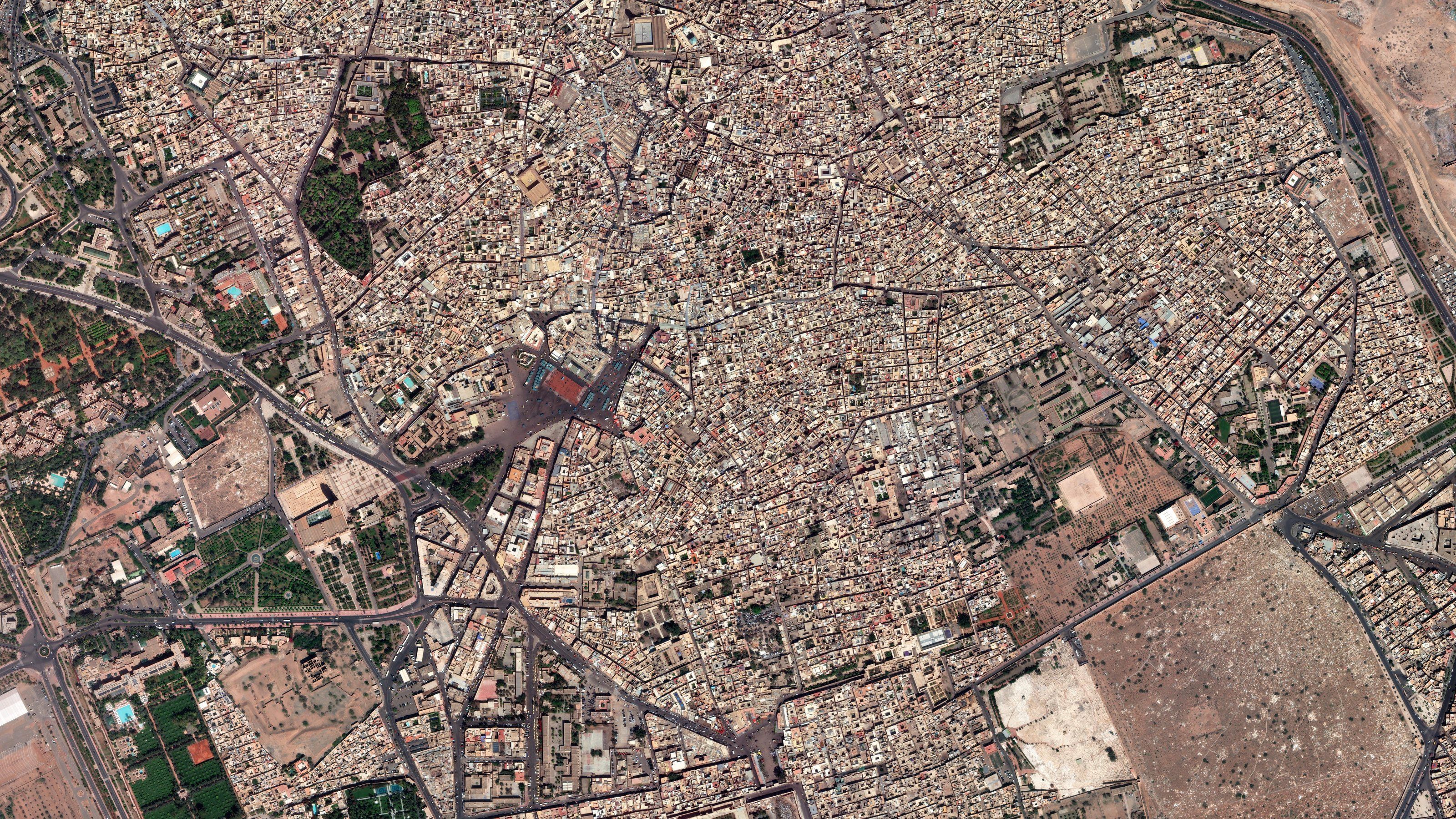
Cadastre & land administration
- 15 cmOptical, enhanced · Vantor
- 30 cmOptical · Vantor
- 50 cmOptical · Planet
Capabilities
- 01
Orthorectified coverage
National coverage in the national grid.
- 02
Mosaics and basemaps
Seamless, colour-balanced and refreshed on a schedule.
- 03
Feature extraction
Building footprints and road networks as vectors.
- 04
Change detection
New construction and unregistered buildings.
- 05
Elevation models
Terrain and surface models.
- 06
Land use
Land use and land cover classification.